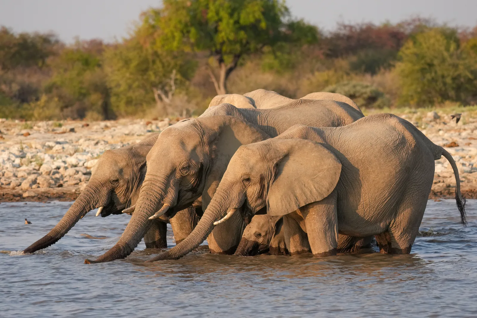
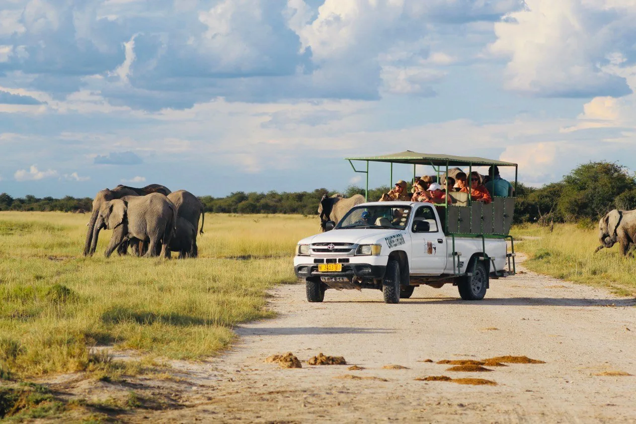
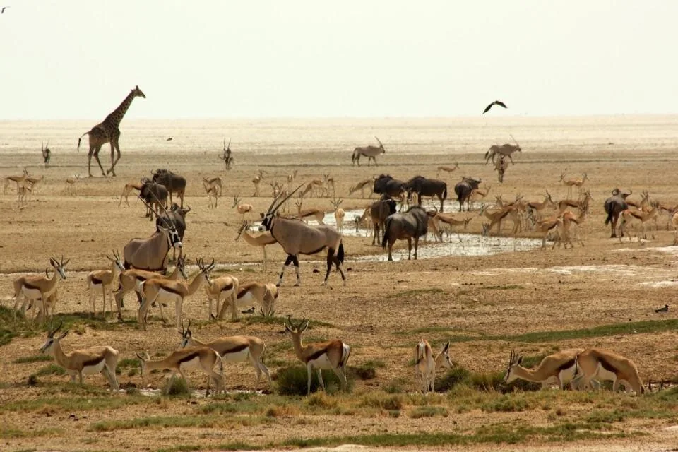
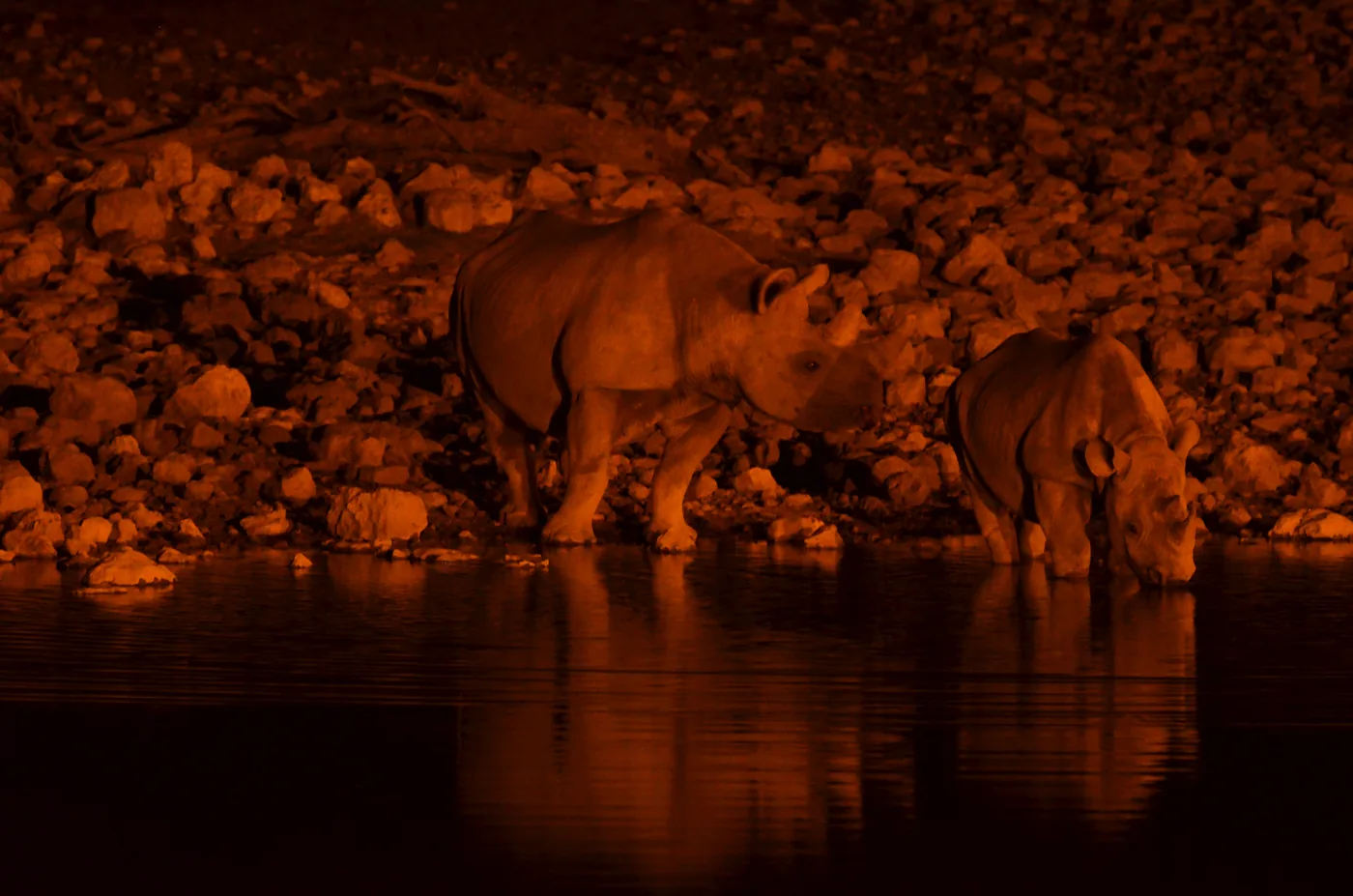
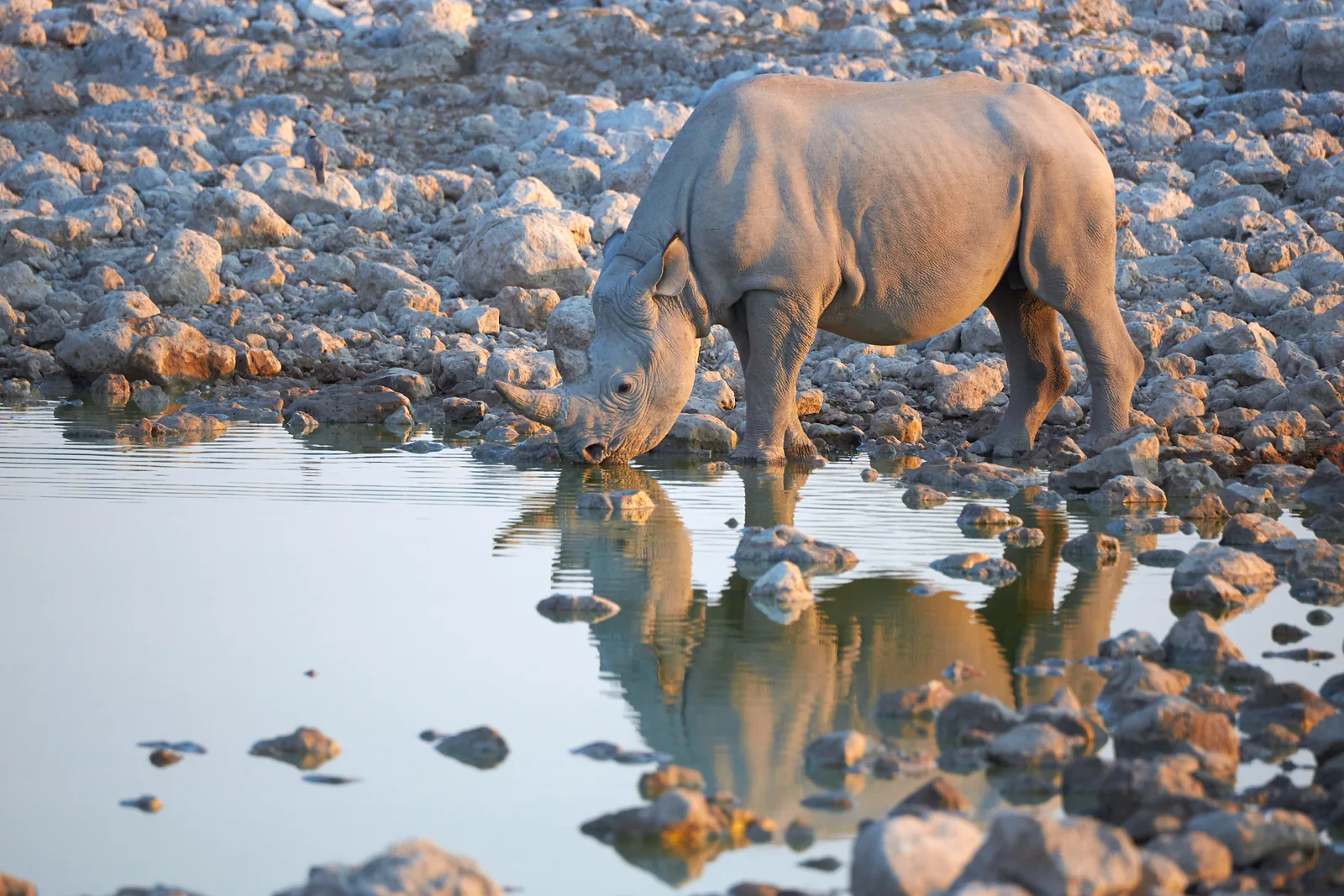
 Photo: Axel Tschentscher ↗ · CC BY-SA 4.0 ↗
Where to stay · Camp and park headquarters in the south
Okaukuejo Camp
The camp easiest to reach from Windhoek, 17 kilometres (10.6 mi) inside Ombika Gate. The park’s Ecological Institute is also based here.
Africa’s best-known waterhole lies right by the fence of a campsite.
- Location
- South, at Ombika Gate
- Distance to the gate
- around 17 km (10.6 mi)
- Waterhole
- floodlit, all night
- Regular at night
- black rhino, lion, elephant
- Accommodation
- chalets, rooms, camping
- On site
- restaurant, bar, shop, post office, pool
- Drives
- morning, afternoon, night
- Also
- the park’s Ecological Institute
Open in OpenStreetMap ↗Location source ↗
-19.17793, 15.91658
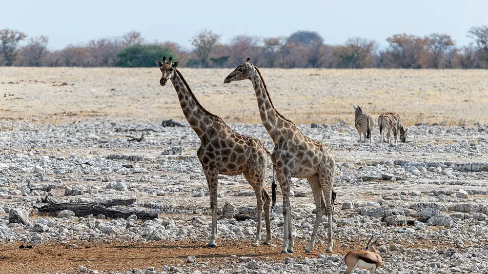 Photo: Christoph Strässler ↗ · CC BY-SA 2.0 ↗
Water · Floodlit waterhole at the camp
Okaukuejo Waterhole
Africa’s best-known waterhole: floodlit at night, right next to the camp, with black rhino, lion and elephant.
Open in OpenStreetMap ↗Location source ↗
-19.18074, 15.91624
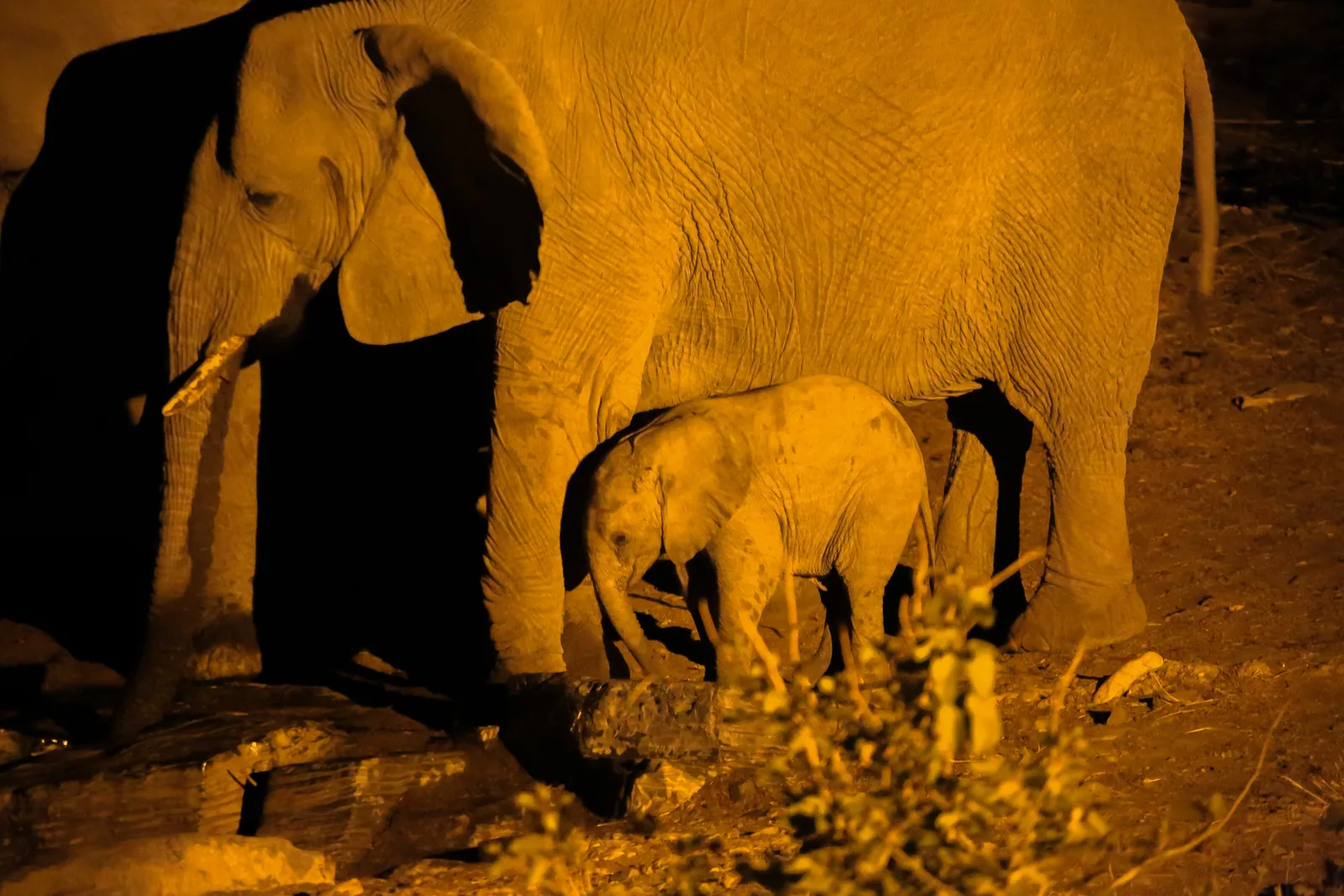 Photo: Stéphane Gallay ↗ · CC BY 2.0 ↗
Where to stay · Camp in the middle of the park
Halali Camp
At the foot of a dolomite hill among mopane trees, halfway between Okaukuejo and Namutoni. The park’s only hills are here.
The middle camp, at the foot of the only hill in the interior of the park.
- Location
- centre, between the large camps
- Surroundings
- dolomite hill, mopane trees
- Waterhole
- Moringa, floodlit
- Known for
- leopards, rhinos, elephants
- Accommodation
- chalets, rooms, camping
- On site
- restaurant, bar, kiosk, pool
- Special feature
- nature walks allowed inside the camp
Open in OpenStreetMap ↗Location source ↗
-19.03563, 16.47110
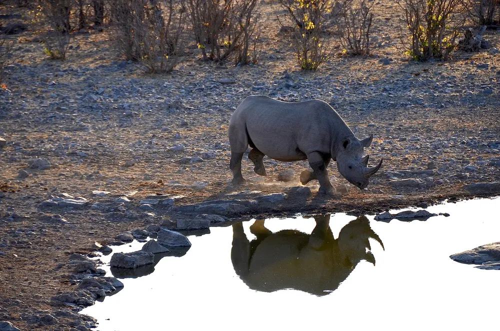 Photo: Olga Ernst ↗ · CC BY-SA 4.0 ↗
Water · Floodlit waterhole at Halali Camp
Moringa Waterhole
Halali Camp’s waterhole, also floodlit. The denser bush around it attracts leopards, rhinos and elephants.
Open in OpenStreetMap ↗Location source ↗
-19.04015, 16.47028
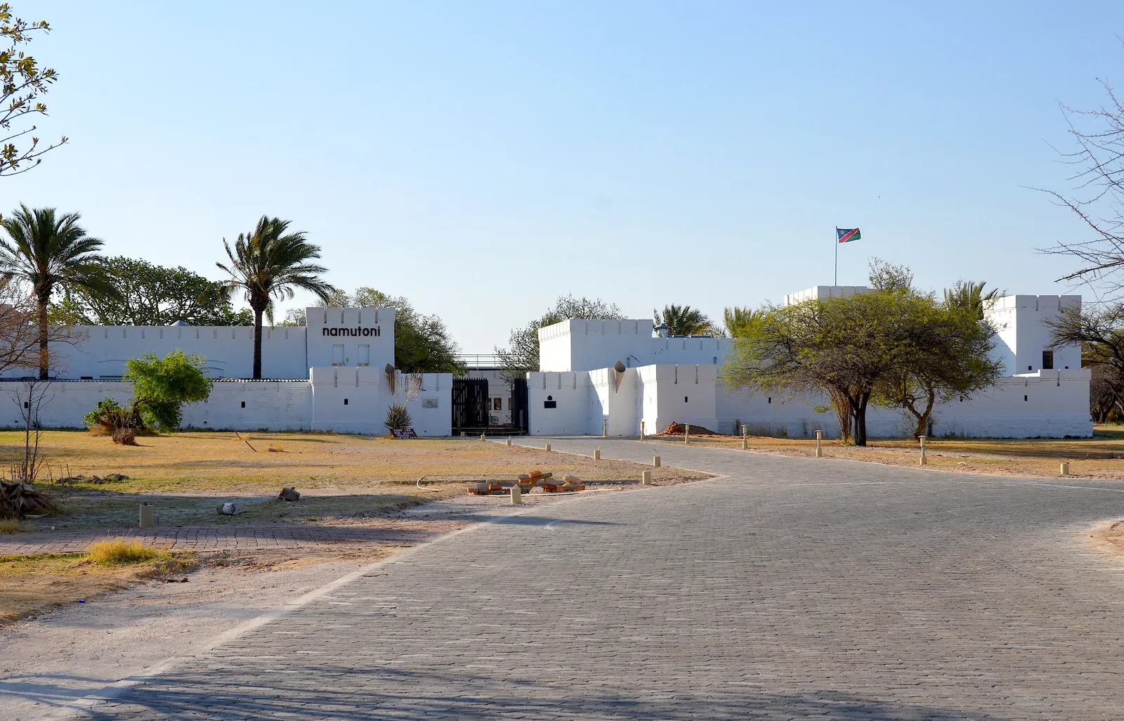 Photo: Olga Ernst ↗ · CC BY-SA 4.0 ↗
Surroundings · German fort from 1897, now a camp
Fort Namutoni
The camp in the east of the park is built into an old German fort from 1897, the only building of its kind in a national park in southern Africa.
A German fort from 1897 where guests now sleep.
- Location
- east, at Von Lindequist Gate
- Building
- fort from 1897
- Nearby
- Fisher's Pan
- Known for
- birdwatching
- Accommodation
- bush chalets, rooms, camping
- On site
- restaurant, steakhouse, bar, shop
- Waterhole
- floodlit
Open in OpenStreetMap ↗Location source ↗
-18.80807, 16.93979
Where to stay · Camp on the edge of the pan
Onkoshi Camp
Fifteen units on a spit of land on the edge of the pan, away from the public self-drive routes. Reachable only by transfer.
Open in OpenStreetMap ↗Location source ↗
-18.65891, 16.72527
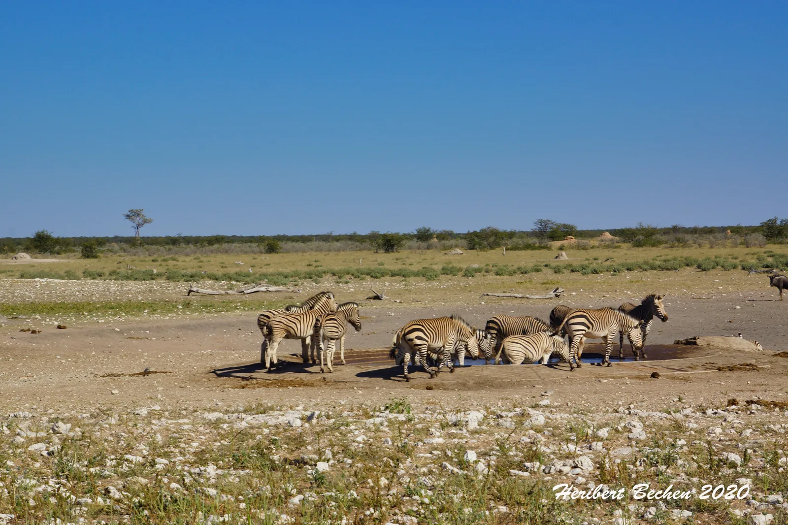 Photo: Heribert Bechen ↗ · CC BY-SA 2.0 ↗
Where to stay · Camp in the west
Dolomite Camp
The camp in the long-closed western part of the park, on a dolomite ridge above the plain. Tented chalets, few beds.
The part of the park that was closed for decades.
- Location
- west, via Galton Gate
- Access
- limited since opening
- Accommodation
- permanent luxury tents
- View
- raised above the plain
- Second camp
- Olifantsrus, camping only
- Olifantsrus
- 10 pitches with electricity
- Reason for species richness
- no mass tourism
Open in OpenStreetMap ↗Location source ↗
-19.00864, 14.47415
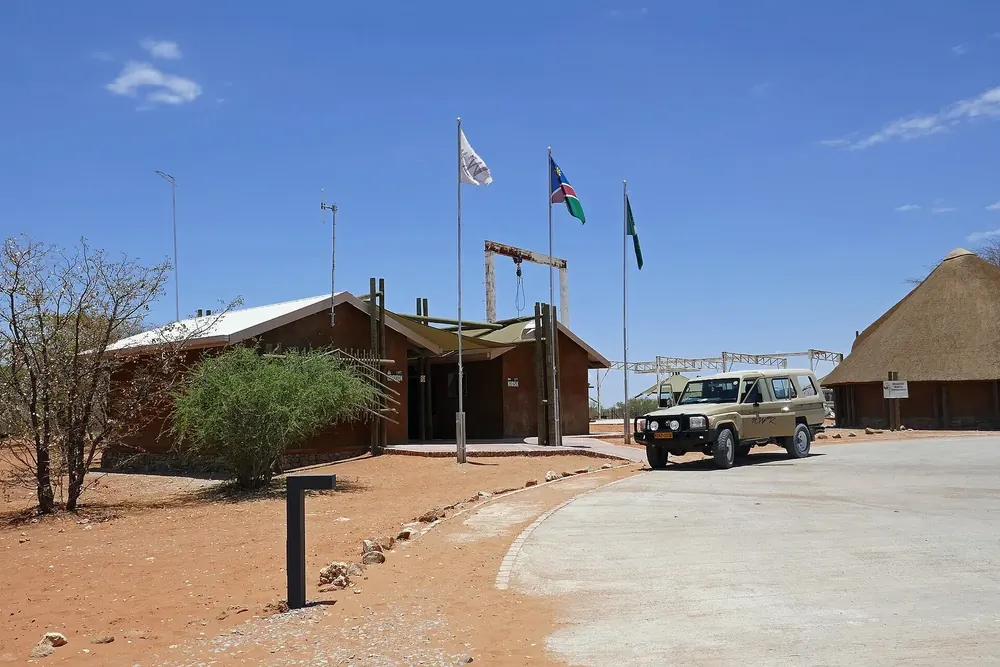 Photo: Ji-Elle ↗ · CC BY-SA 4.0 ↗
Where to stay · Campsite only, in the west
Olifantsrus
Ten sites with electricity between Okaukuejo and Dolomite, no chalets. The only place in the park that offers camping only.
Open in OpenStreetMap ↗Location source ↗
-18.96629, 14.85929
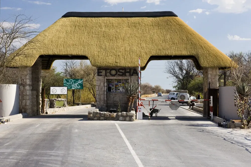 Photo: http://namibia.11-300mm.de/ ↗ · CC BY-SA 2.0 de ↗
Arrival · Southern gate near Okaukuejo
Ombika Gate (Andersson Gate)
The gate most self-drivers use, coming from Outjo on the C38. The day permit is issued here.
Open in OpenStreetMap ↗Location source ↗
-19.33145, 15.94018
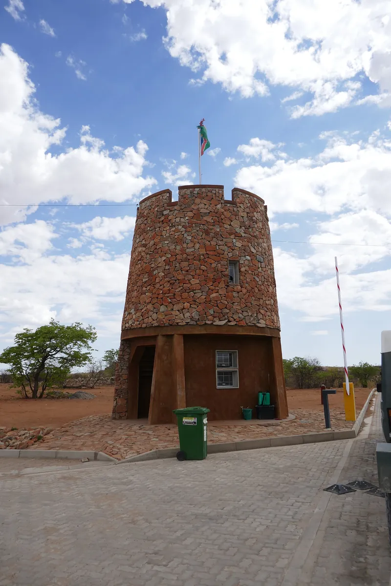 Photo: Ji-Elle ↗ · CC BY-SA 4.0 ↗
Arrival · Western gate
Galton Gate
The entrance to the western part of the park, from Kamanjab. For a long time the west was closed entirely.
Open in OpenStreetMap ↗Location source ↗
-19.31497, 14.48436
Arrival · Northern gate
King Nehale Gate
The northern gate towards Ondangwa and Oshakati, named after Nehale lya Mpingana.
Open in OpenStreetMap ↗Location source ↗
-18.50099, 16.74422
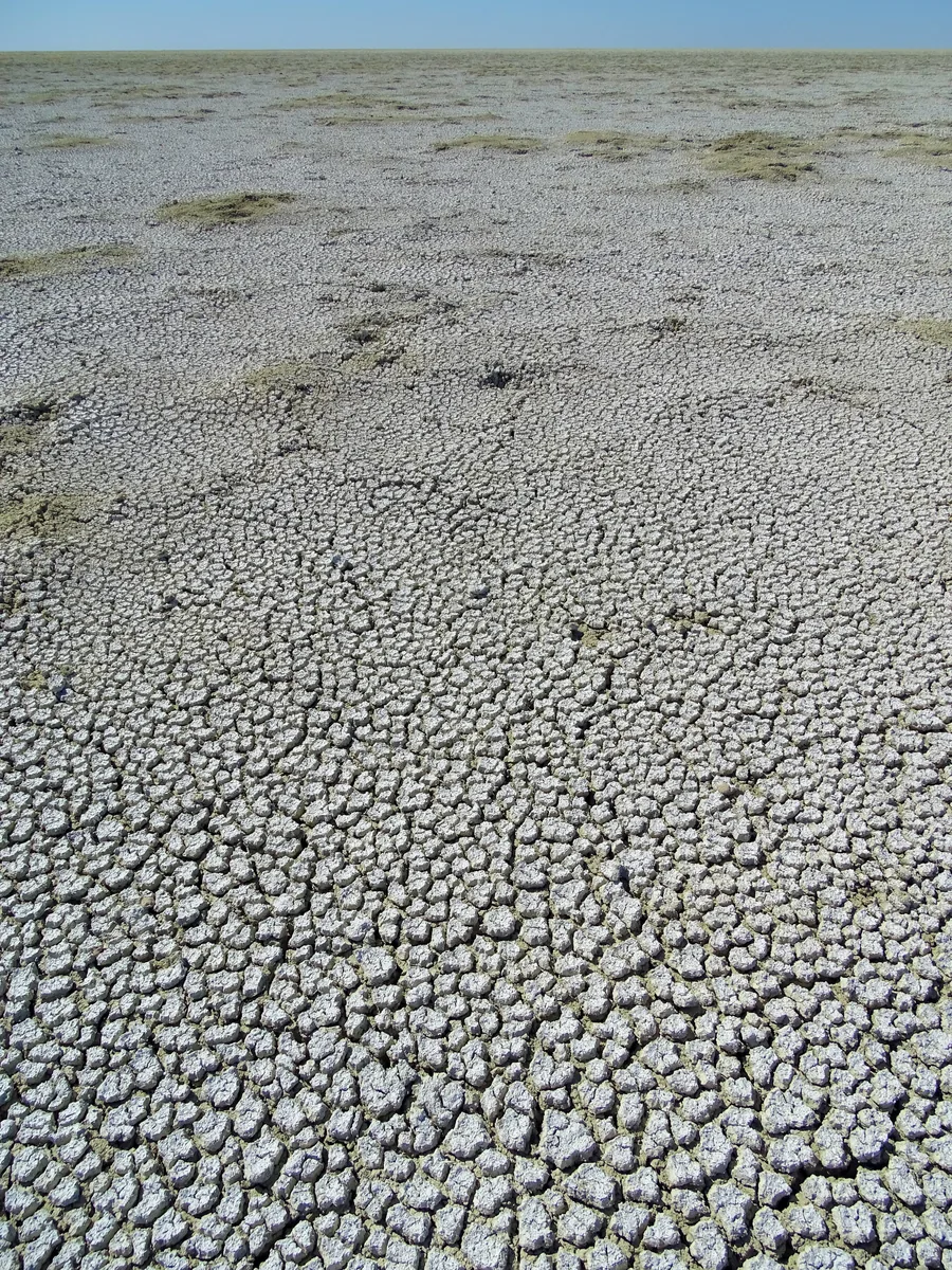 Photo: Bjørn Christian Tørrissen ↗ · CC BY-SA 4.0 ↗
Water · Salt pan, around 4,800 km² (1,853 sq mi)
Etosha Pan
The dried-up remains of a lake once fed by the Kunene River. In most months a white surface without vegetation.
A salt flat that began as a lake and is named after what it lacks.
- Name
- Etotha in Oshindonga
- Meaning
- “the place where nothing grows”
- Origin
- remains of a lake fed by the Kunene
- Fossil finds
- wetland antelopes, 90 cm (35 in) catfish
- Usual state
- dry, white, without vegetation
- Access
- Etosha Lookout, spur road
- Secondary pan
- Fisher's Pan near Namutoni
Open in OpenStreetMap ↗Location source ↗
-18.78291, 16.31668
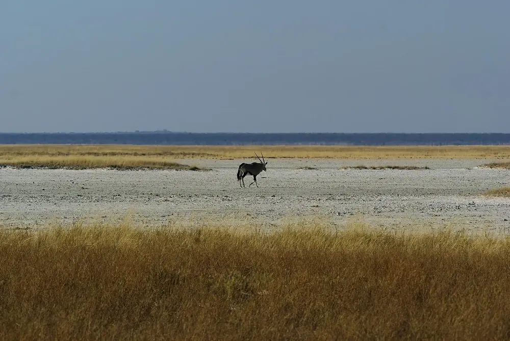 Photo: Hans Hillewaert ↗ · CC BY-SA 4.0 ↗
Water · Secondary pan near Namutoni
Fisher's Pan
A smaller pan east of the main one that holds water after rain, when it becomes one of the best places in the park for birds.
Open in OpenStreetMap ↗Location source ↗
-18.76178, 16.98648
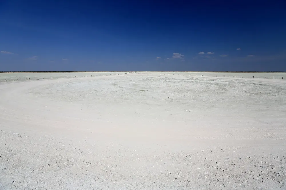 Photo: Martin Cígler ↗ · CC BY-SA 3.0 ↗
Viewpoint · Viewpoint on the pan
Etosha Lookout
The only place where a spur road leads out onto the pan itself, and one of the few places where you may get out of your vehicle.
Open in OpenStreetMap ↗Location source ↗
-18.93037, 16.48752
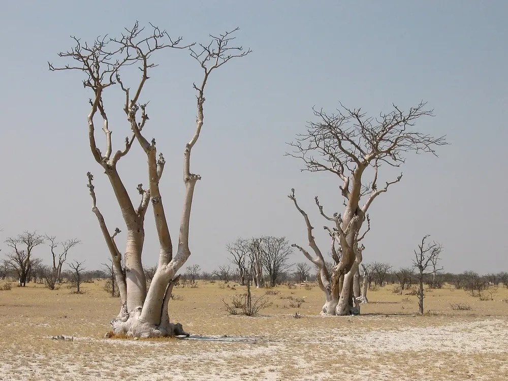 Photo: Harald Süpfle ↗ · CC BY-SA 2.5 ↗
Nature · Stand of moringa trees west of Okaukuejo
Sprokieswoud
The “Fairytale Forest”: a dense stand of African moringa trees found nowhere else on the plain.
Open in OpenStreetMap ↗Location source ↗
-19.08871, 15.63928
Water · Natural spring on the edge of the pan
Okondeka
North of Okaukuejo on the edge of the pan, known for lions and large herds of zebra and wildebeest in the dry season.
Open in OpenStreetMap ↗Location source ↗
-18.99481, 15.86771
Water · Waterhole on the edge of the pan
Salvadora
A spring right on the edge of the pan, on the route between Okaukuejo and Halali.
Open in OpenStreetMap ↗Location source ↗
-19.03435, 16.26851
Water · Waterhole south of the pan
Homob
One of the waterholes on the central route, where elephants and oryx gather in the dry season.
Open in OpenStreetMap ↗Location source ↗
-19.05295, 16.19300
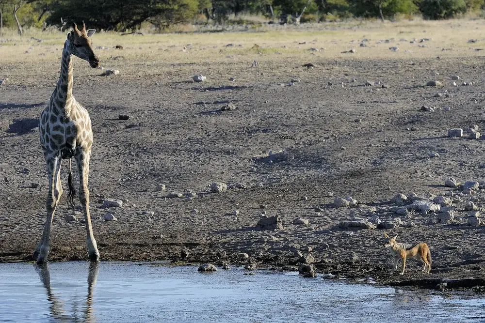 Photo: Hans Stieglitz ↗ · CC BY-SA 3.0 ↗
Water · Natural spring near Namutoni
Chudob
An artesian spring near Namutoni, where animals still gather long after the pan has dried out.
Open in OpenStreetMap ↗Location source ↗
-18.85825, 16.92488
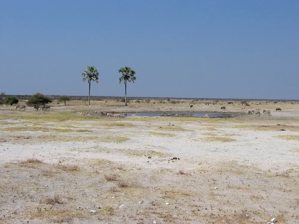 Photo: Harald Süpfle ↗ · CC BY-SA 2.5 ↗
Water · Waterhole at Fisher's Pan
Twee Palms
Two makalani palms at a waterhole east of Namutoni, the most photographed sight in this part of the park.
Open in OpenStreetMap ↗Location source ↗
-18.76556, 17.02994
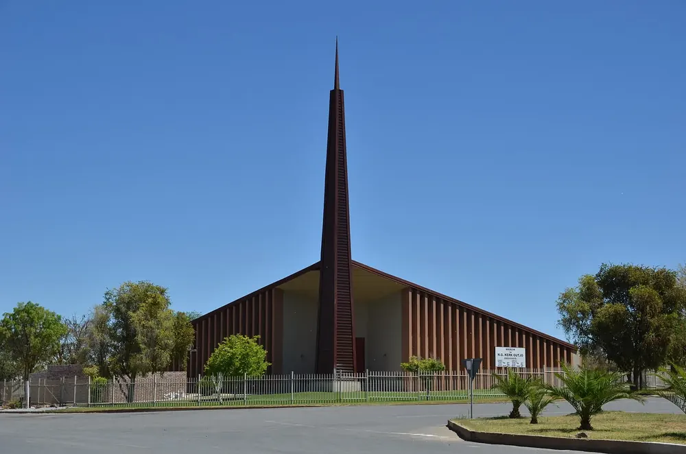 Photo: Pavel Špindler ↗ · CC BY 3.0 ↗
Surroundings · Last town before the southern gate
Outjo
The small town on the way from Windhoek: the last large filling station and the last supermarket before Ombika Gate.
Open in OpenStreetMap ↗Location source ↗
-20.11186, 16.15669
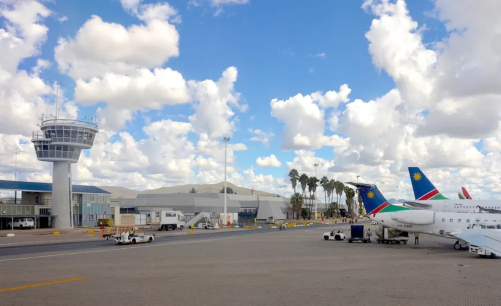 Photo: Olga Ernst ↗ · CC BY-SA 4.0 ↗
Arrival · International airport near Windhoek
Hosea Kutako International Airport
Namibia’s main international arrival airport, around 45 kilometres (28 mi) east of Windhoek and a good 500 kilometres (311 mi) from the southern gate.
Open in OpenStreetMap ↗Location source ↗
-22.48220, 17.47205