 SurroundingsPhoto: Dirgela ↗ · CC BY-SA 3.0 ↗
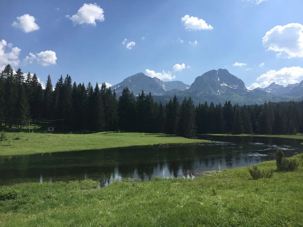
Arrival · Park authority visitor centre
Visitor centre at the Black Lake
Near the Black Lake on the edge of Žabljak. Entry is included in the day ticket; on its own it costs €1.
Open in OpenStreetMap ↗Location source ↗
43.15534, 19.10480
 SurroundingsPhoto: tarosys ↗ · CC BY 3.0 ↗
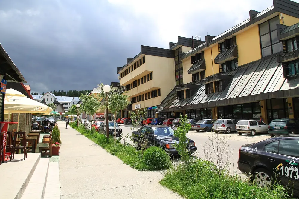
Arrival · Information in town
Žabljak tourist information
In the centre of Žabljak, the base for visiting the park.
Open in OpenStreetMap ↗Location source ↗
43.15361, 19.12635
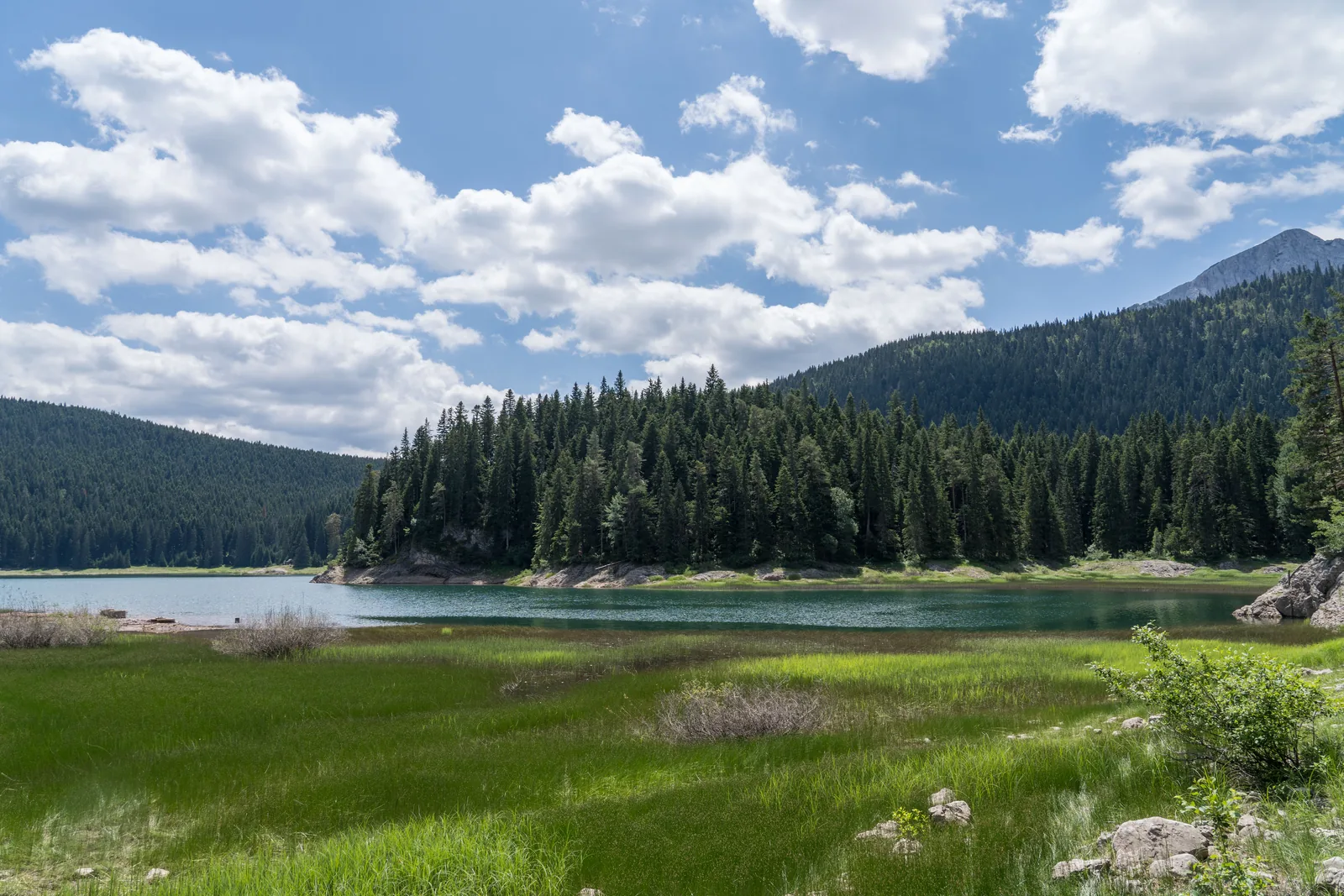 Photo: Alexkom000 ↗ · CC BY 4.0 ↗
Water · Best-known lake in the park
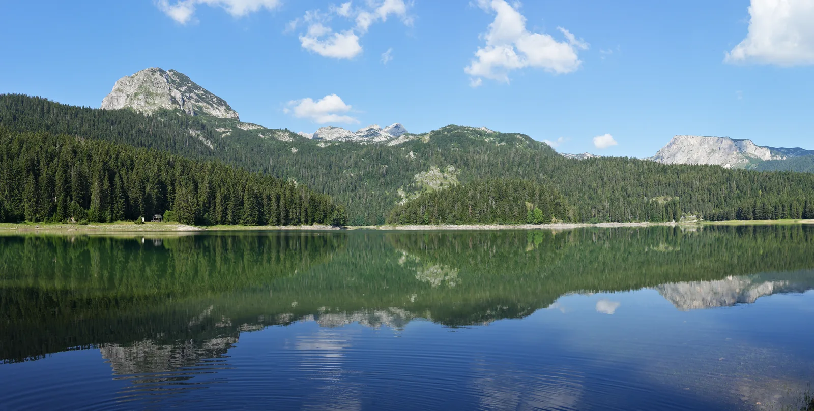
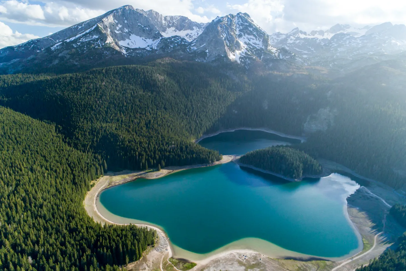
Black Lake (Crno jezero)
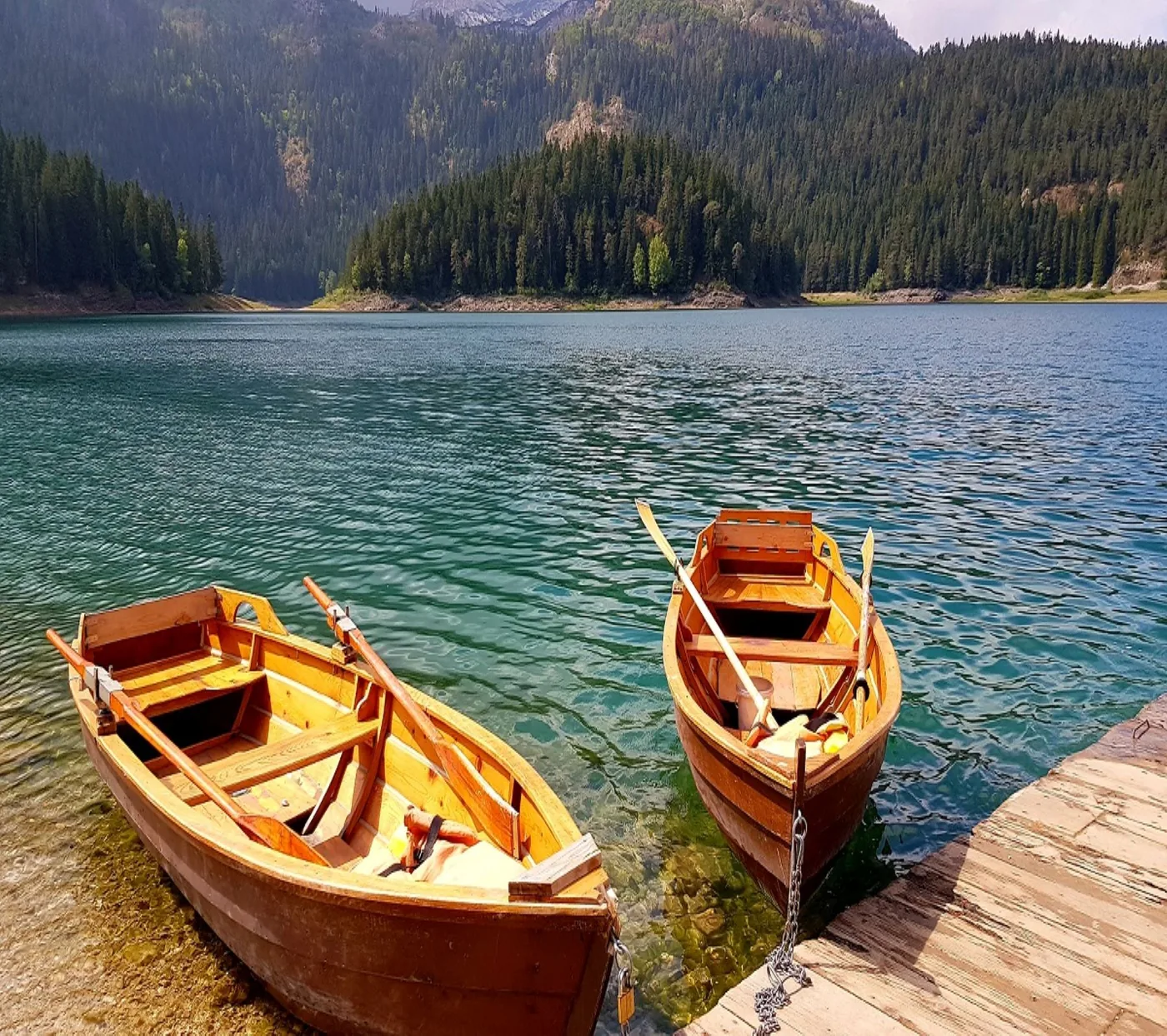
The lake at the forest edge just outside Žabljak, with a nature trail along the shore, rowing boat hire and fishing permits from the park authority.
The lake where almost every visit begins.
- Location
- edge of Žabljak
- Nature trail
- included in the day ticket
- Rowing boat
- €10 per hour
- Own boat
- €5 per hour
- Fishing permit
- €20 per day
- Visitor centre
- nearby
Open in OpenStreetMap ↗Location source ↗
43.14539, 19.09068
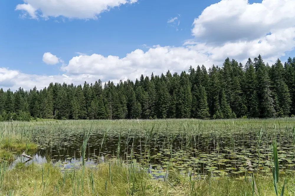 Photo: Alexkom000 ↗ · CC BY 4.0 ↗
Water · Small lake north of the Black Lake
Barno jezero
A small, shallow lake a few hundred metres north of the Black Lake.
Open in OpenStreetMap ↗Location source ↗
43.15690, 19.09247
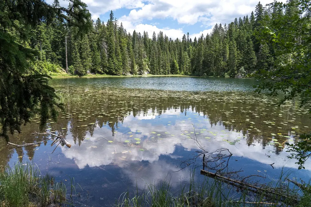 Photo: Alexkom000 ↗ · CC BY 4.0 ↗
Water · Forest lake west of Žabljak
Zminje jezero
A small lake in the conifer forest west of the Black Lake.
Open in OpenStreetMap ↗Location source ↗
43.15557, 19.07052
Water · Lake in the high valley below Bobotov Kuk
Veliko Škrčko jezero
The larger of the two Škrčka lakes in the valley west of the main ridge, with a campsite.
Open in OpenStreetMap ↗Location source ↗
43.13617, 19.01427
Water · Mountain lake in the south
Modro jezero
A mountain lake south of the main ridge, near the Sedlo pass.
Open in OpenStreetMap ↗Location source ↗
43.08584, 19.07234
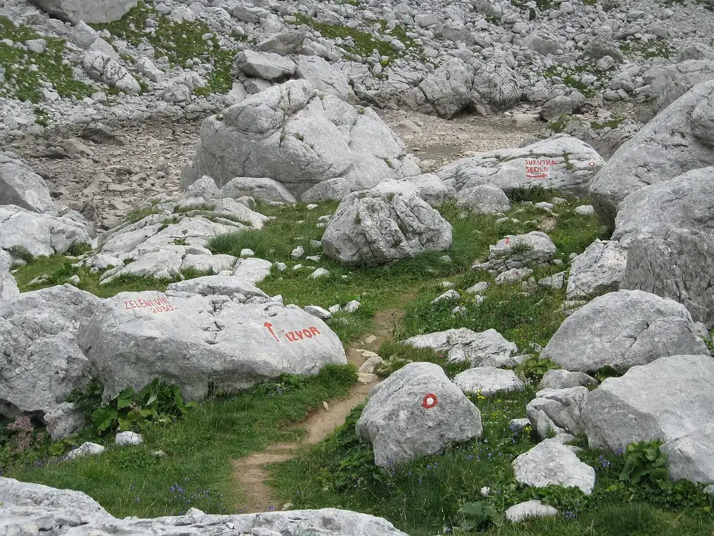 Photo: Emil Joanović ↗ · CC BY-SA 3.0 ↗
Water · Small high lake
Zeleni Vir
A small lake directly below Bobotov Kuk, on the ascent from the south.
Open in OpenStreetMap ↗Location source ↗
43.12263, 19.03930
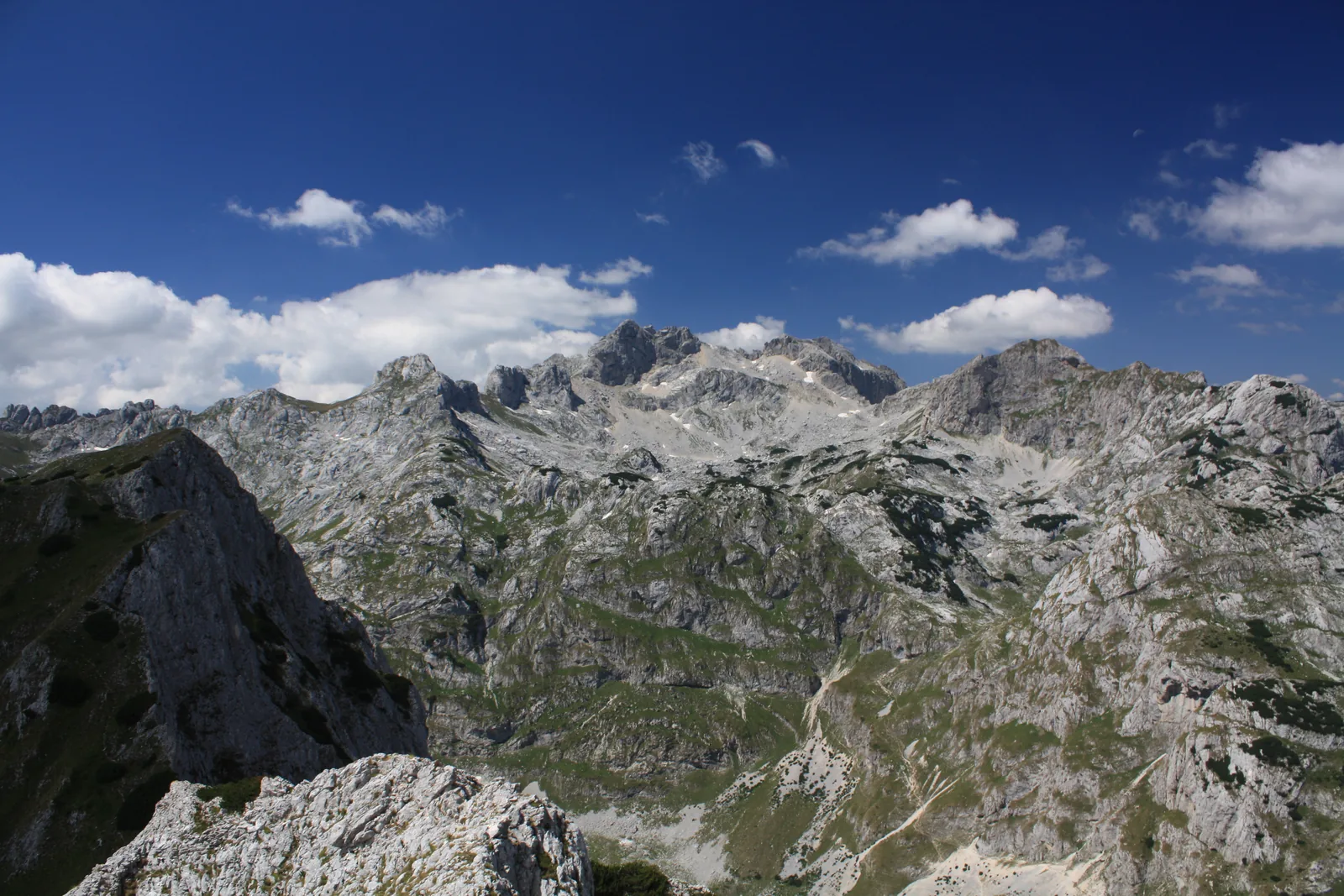 Photo: Mercy from Wikimedia Commons ↗ · CC BY-SA 3.0 ↗
Mountains & rock · Highest peak, 2,525 m (8,284 ft)
Bobotov Kuk
The highest peak of the massif. UNESCO gives 2,525 metres (8,284 ft), OpenStreetMap 2,523.
The highest peak, with three different heights on record.
- Height according to UNESCO
- 2,525 m (8,284 ft)
- Height according to OpenStreetMap
- 2,523 m (8,278 ft)
- Peaks over 2,000 m in the massif
- around 50
- Park authority mountain guide
- €80 for 8 hours
- Lakes below
- Zeleni Vir, Škrčka jezera
Open in OpenStreetMap ↗Location source ↗
43.12812, 19.03466
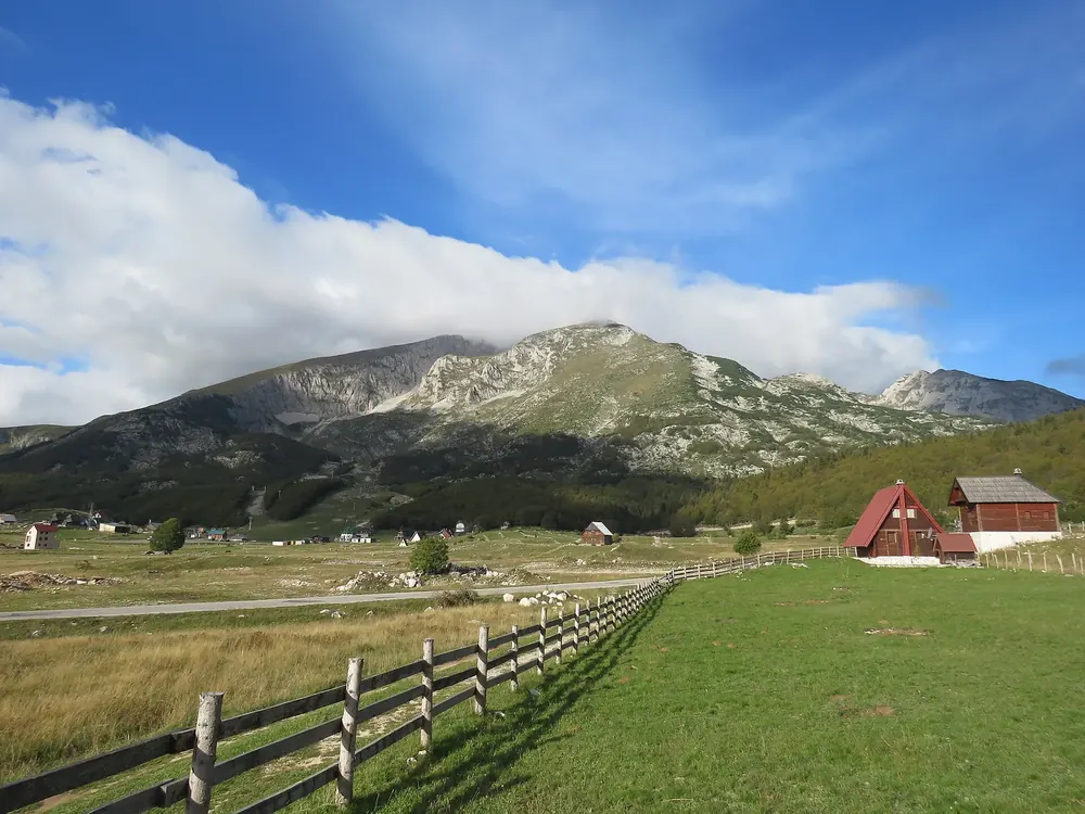 Photo: Calistemon ↗ · CC BY-SA 4.0 ↗
Mountains & rock · Peak above Žabljak, 2,313 m (7,589 ft)
Savin Kuk
The peak south-west of Žabljak; in winter it is the town's ski area.
Open in OpenStreetMap ↗Location source ↗
43.12270, 19.08085
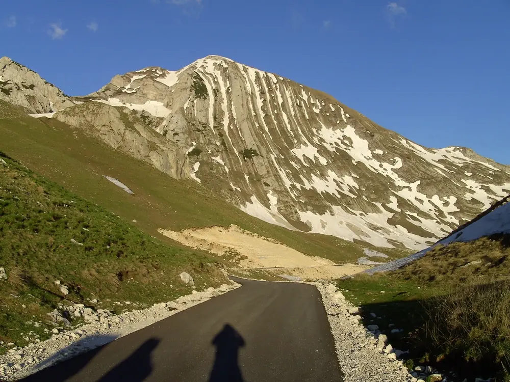 Photo: Martin Brož ↗ · CC BY 3.0 ↗
Mountains & rock · Peak above the Škrčka lakes, 2,393 m (7,851 ft)
Prutaš
A peak on the western edge of the main ridge, above the Škrčka lakes.
Open in OpenStreetMap ↗Location source ↗
43.12674, 19.00144
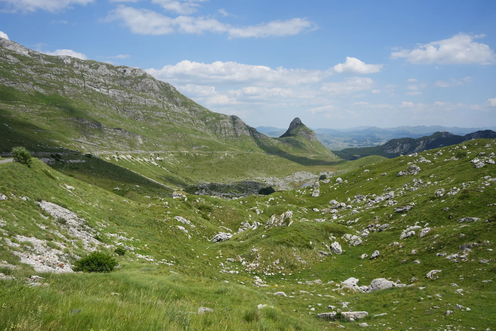 Photo: Ingo Mehling ↗ · CC BY-SA 4.0 ↗
Mountains & rock · Pass on the panoramic road
Sedlo
The pass at around 1,900 metres (6,200 ft) on the road through the massif. The path to Sedlena Greda starts here.
The road through the massif, and a path up from its highest point.
- Sedlo pass
- 1,907 m (6,257 ft)
- Sedlena Greda
- 2,227 m (7,306 ft)
- Ring drive with the park authority, minibus
- €20, entry included
- Ring drive with the park authority, off-road vehicle
- €30, entry included
Open in OpenStreetMap ↗Location source ↗
43.10448, 19.02025
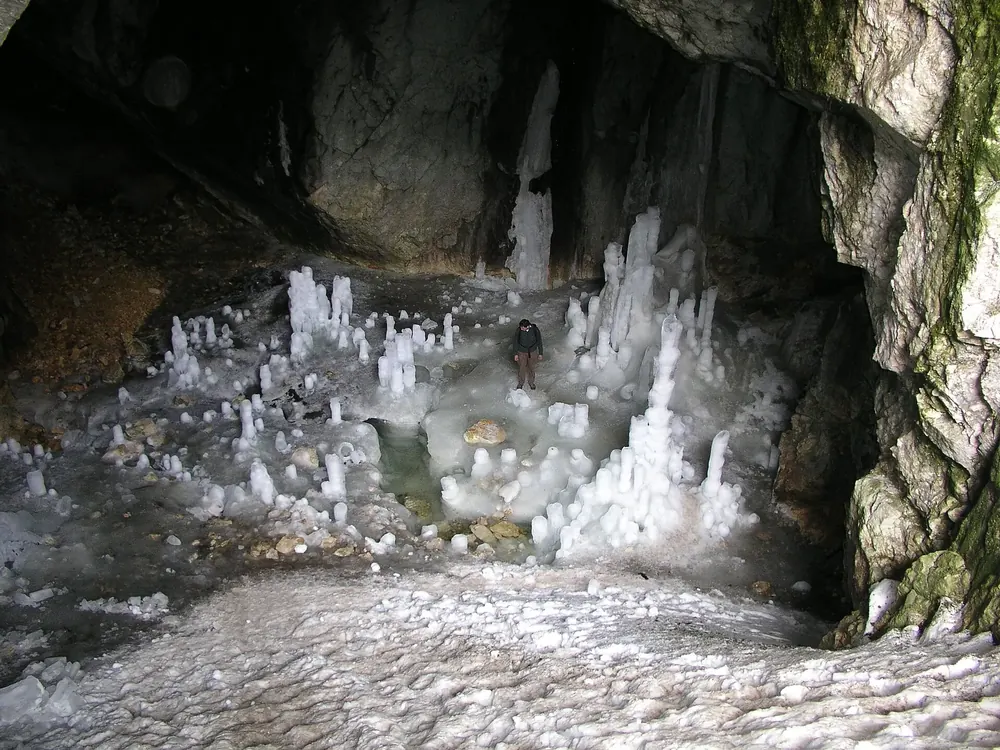 Photo: JYB Devot ↗ · CC BY-SA 4.0 ↗
Mountains & rock · Cave at 2,180 m (7,152 ft)
Ice Cave (Ledena pećina)
A cave on the main ridge where ice lasts into the summer.
Open in OpenStreetMap ↗Location source ↗
43.13961, 19.04965
Where to stay · Park authority accommodation
Sušica mountain hut
In the Sušica valley. The park authority rents beds for €10 per person per night.
Open in OpenStreetMap ↗Location source ↗
43.18381, 18.99993
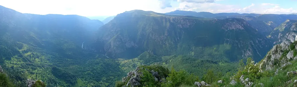 Photo: geerge ↗ · CC BY 3.0 ↗
Viewpoint · View into the Tara Canyon
Ćurevac viewpoint
A viewpoint north of Žabljak above the Tara Canyon.
Open in OpenStreetMap ↗Location source ↗
43.20155, 19.09298
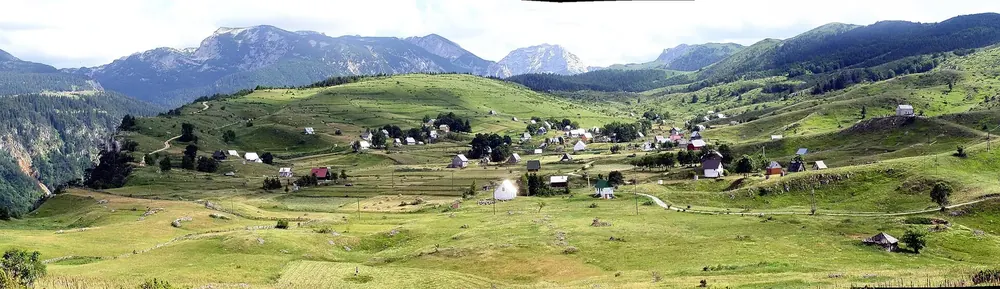 Photo: veselin koprivica ↗ · CC BY 3.0 ↗
Viewpoint · Viewpoint by the village
Nedajno viewpoint
The park authority lists the viewpoint at the village of Nedajno as one of its own attractions.
Open in OpenStreetMap ↗Location source ↗
43.19849, 18.99009
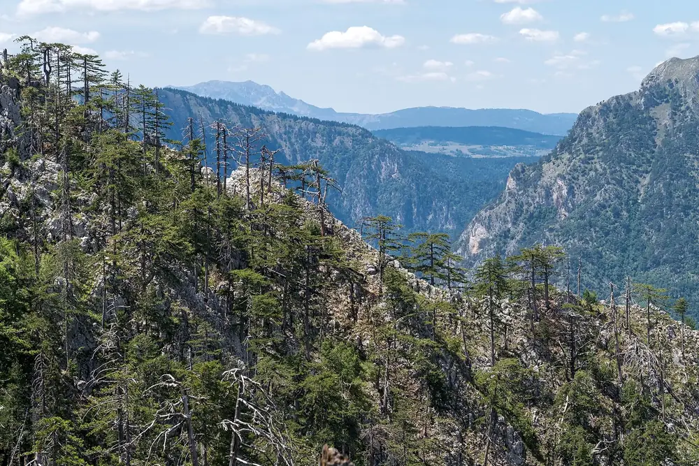 Photo: Alexkom000 ↗ · CC BY 4.0 ↗
Mountains & rock · Deepest canyon in Europe
Tara Canyon
According to UNESCO the deepest canyon in Europe and one of the few largely untouched ones.
Open in OpenStreetMap ↗Location source ↗
43.18570, 19.14651
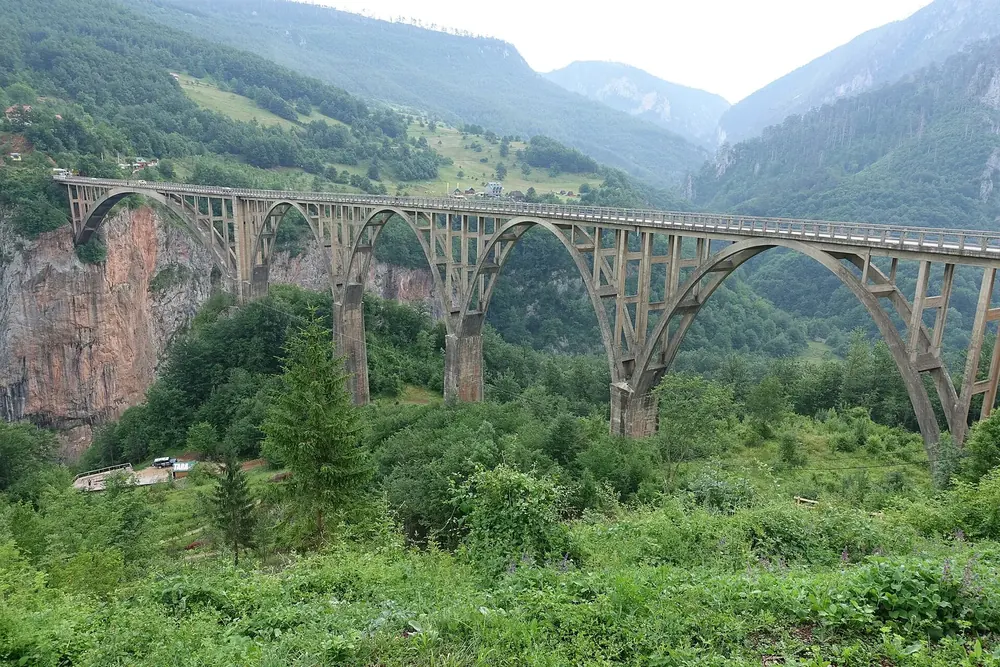 Photo: David Jones from Isle of Wight, United Kingdom ↗ · CC BY 2.0 ↗
Mountains & rock · Arch bridge over the Tara
Đurđevića Tara Bridge
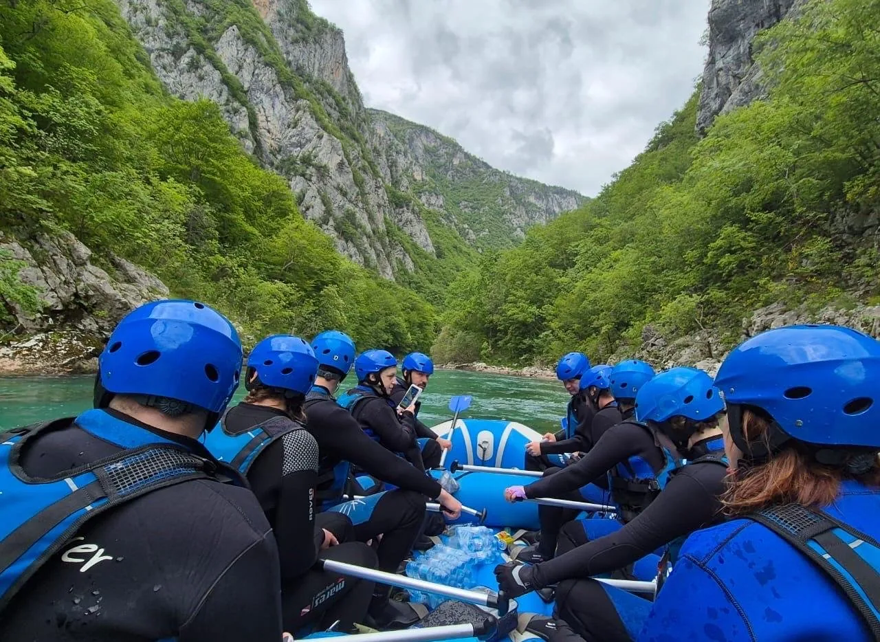
The concrete arch bridge over the canyon east of Žabljak. Rafting tours pass beneath it.
Open in OpenStreetMap ↗Location source ↗
43.14966, 19.29400