


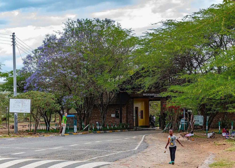
Arrival · Main gate in the east
Sekenani Gate
The gate at the end of the tarmac road from Narok. Most visitors travelling by road from Nairobi arrive here.
Open in OpenStreetMap ↗Location source ↗
-1.52097, 35.33744

15 places with verified coordinates · 7 with photo
Day safari from Nairobi · 1 day · GetYourGuide
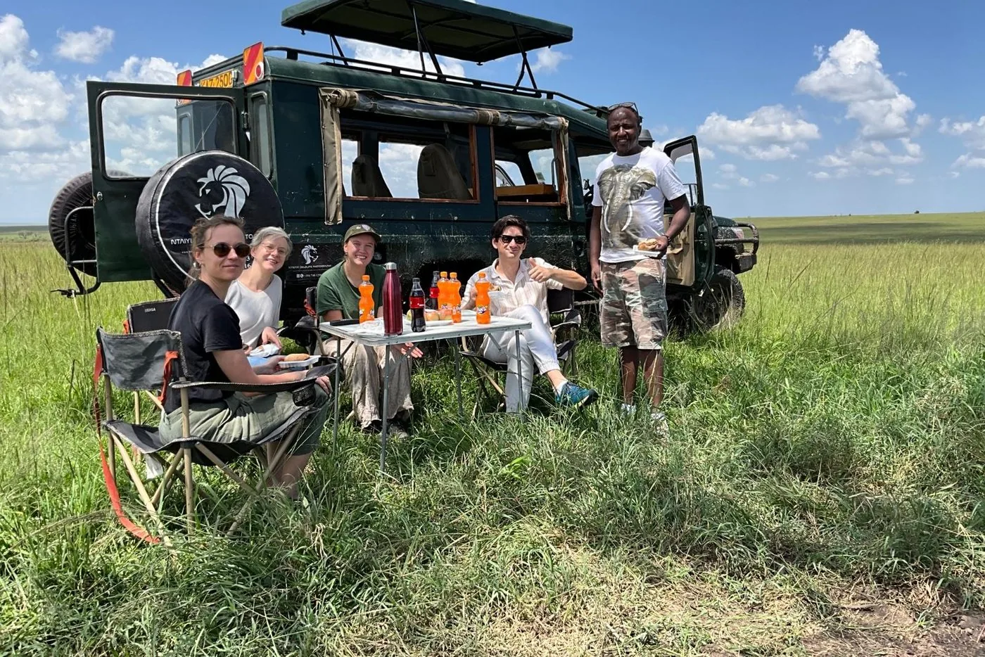
Day safari from Nairobi with two game drives and a packed lunch ↗Hotel pick-up in Nairobi early in the morning.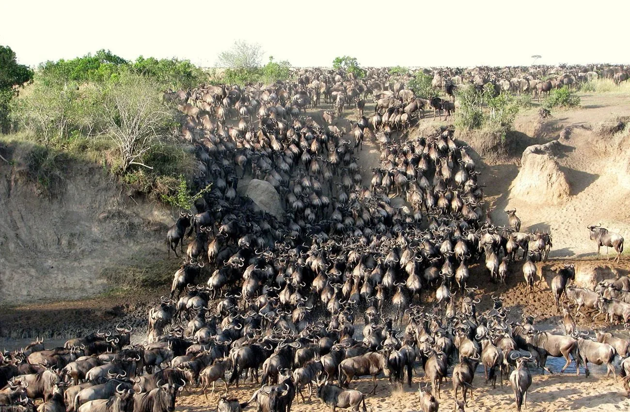
Three-day safari from Nairobi · daily · GetYourGuide
3 days in the Maasai Mara from Nairobi by Land Cruiser, tented camp with bathroom ↗Pick-up from hotels in central Nairobi and in Westlands near the expressway; otherwise meeting point at City Market, Muindi Mbingu Street.Transfer from Nairobi · private · Viator
Private transfer from Nairobi to the Maasai Mara ↗Pick-up from hotels in Nairobi and at Nairobi airport (give your flight details); the pick-up list also names Wilson Airport and hotels at Lake Naivasha and in Nakuru. Give the name of your lodge or camp in the Mara when booking.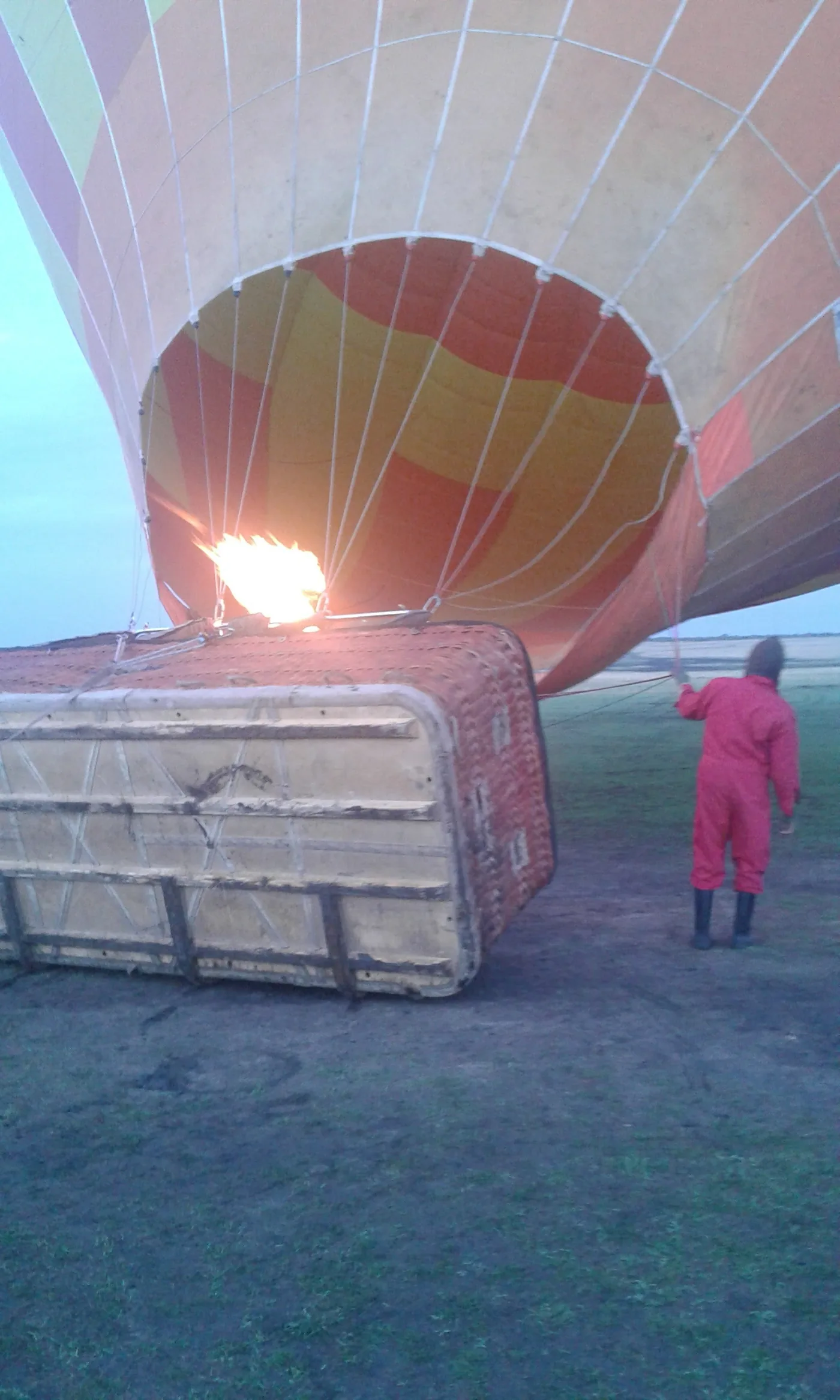
GetYourGuide
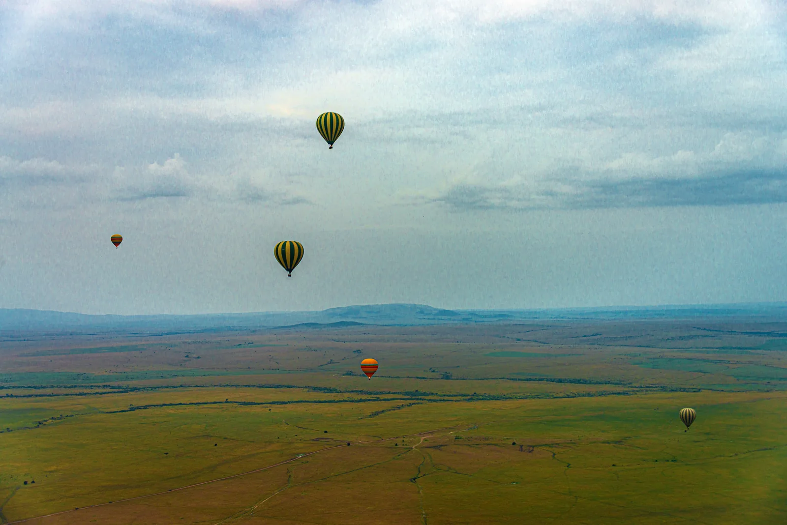
Sunrise hot-air balloon flight with bush breakfast ↗Pick-up from lodges and camps in the Maasai Mara.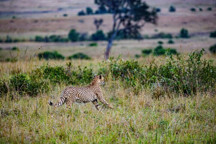
Game drive · full day · private · Viator
Private full-day game drive from your lodge to the Mara River ↗Pick-up from lodges and camps in and around the Maasai Mara; the driver asks for you at reception. If you arrive by plane, give your flight details.Ad · partner links: we may earn a commission if you book. Offer details checked 2 Oct 2026; dates and prices with the provider.
Arrival · Main gate in the east
The gate at the end of the tarmac road from Narok. Most visitors travelling by road from Nairobi arrive here.
Open in OpenStreetMap ↗Location source ↗
-1.52097, 35.33744
Arrival · Gate in the south-east
A second gate on the eastern side, south of Sekenani.
Open in OpenStreetMap ↗Location source ↗
-1.61791, 35.38478
Arrival · Gate in the north
The northern gate of the Narok side, near Musiara Airstrip.
Open in OpenStreetMap ↗Location source ↗
-1.27188, 35.06641
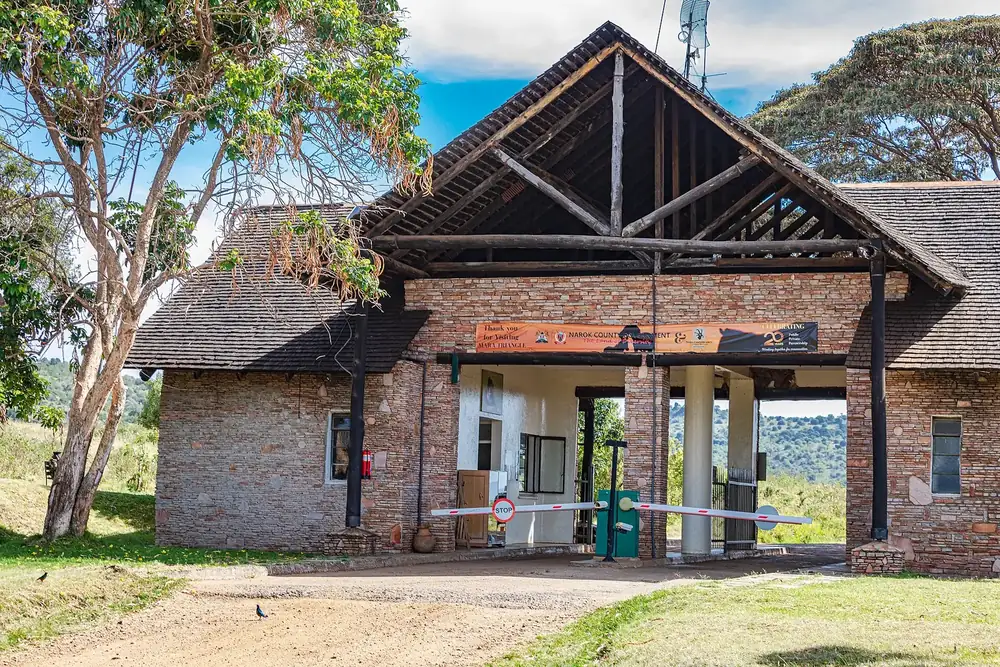
Arrival · Mara Triangle gate
Northern gate of the Mara Triangle, with a public campsite. A member of the ticket office's staff sells tickets here, cashless only.
Open in OpenStreetMap ↗Location source ↗
-1.25840, 34.99763
Arrival · Bridge over the Mara, entrance to the Triangle
The bridge over the Mara River links the Narok side with the Mara Triangle. If you stay overnight in the Triangle, you only pay here.
Open in OpenStreetMap ↗Location source ↗
-1.54603, 35.01891
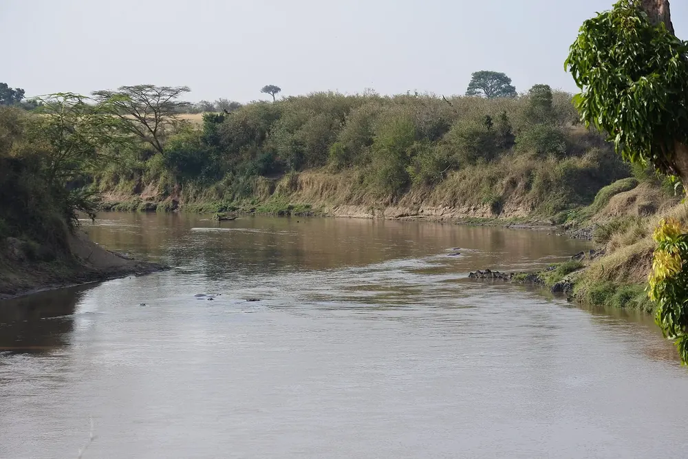
Water · River on the edge of the Triangle
The river forms the eastern boundary of the Mara Triangle. The wildebeest herds cross it along its banks.
Open in OpenStreetMap ↗Location source ↗
-1.54571, 35.01806
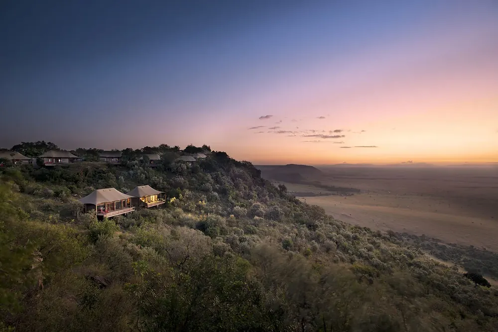
Water · Western edge of the Triangle
The escarpment that bounds the Triangle to the west. Together with the Mara River and the national border it forms the triangle that gives the area its name.
Open in OpenStreetMap ↗Location source ↗
-1.35343, 34.86783
Viewpoint · Viewpoint east of the river
A hill above the plain east of the Mara River, looking south towards the border.
Open in OpenStreetMap ↗Location source ↗
-1.51550, 35.05019
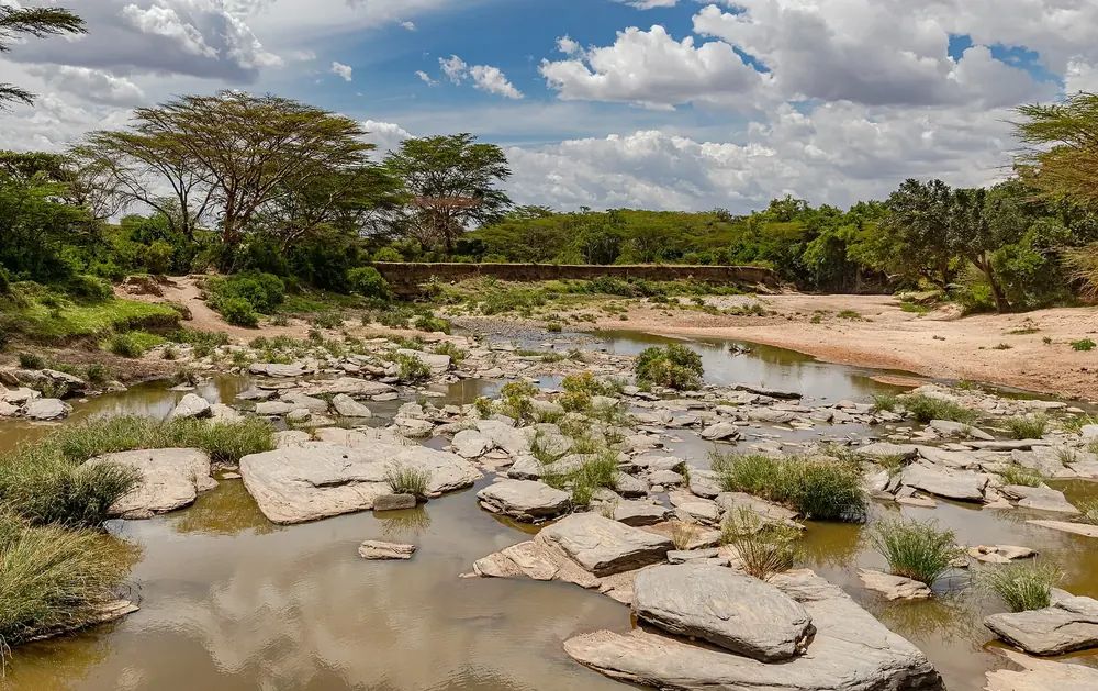
Water · Tributary of the Mara
The Talek crosses the Narok side from the east and flows into the Mara River.
Open in OpenStreetMap ↗Location source ↗
-1.42172, 35.10224
Water · River in the south
A river in the south of the Narok side, near the border with Tanzania.
Open in OpenStreetMap ↗Location source ↗
-1.69165, 35.43111
Trails · Airstrip in the Triangle
Airstrip in the Mara Triangle. The Conservancy lists it as a place where landing fees and entrance fees can be paid.
Open in OpenStreetMap ↗Location source ↗
-1.40493, 35.00817
Trails · Airstrip in the centre
Airstrip on the Narok side near the Talek.
Open in OpenStreetMap ↗Location source ↗
-1.40879, 35.11052
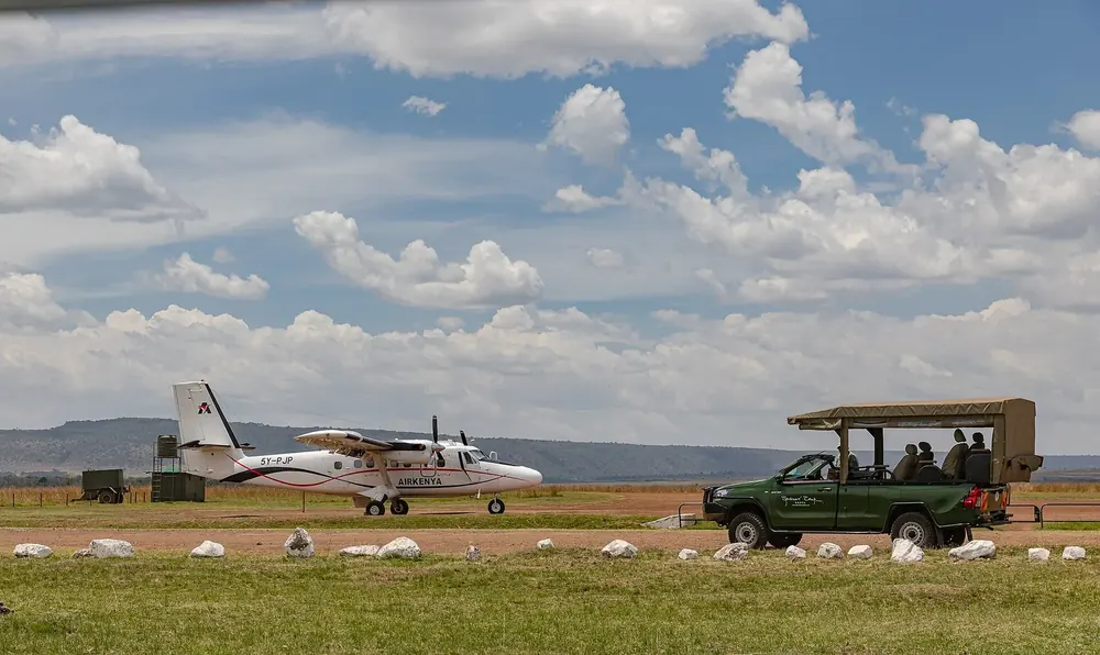
Trails · Airstrip in the north
Airstrip near Musiara Gate in the north of the reserve.
Open in OpenStreetMap ↗Location source ↗
-1.29865, 35.06358
Trails · Airstrip in the south
Airstrip in the south of the Narok side, not far from the border with Tanzania.
Open in OpenStreetMap ↗Location source ↗
-1.58638, 35.25797
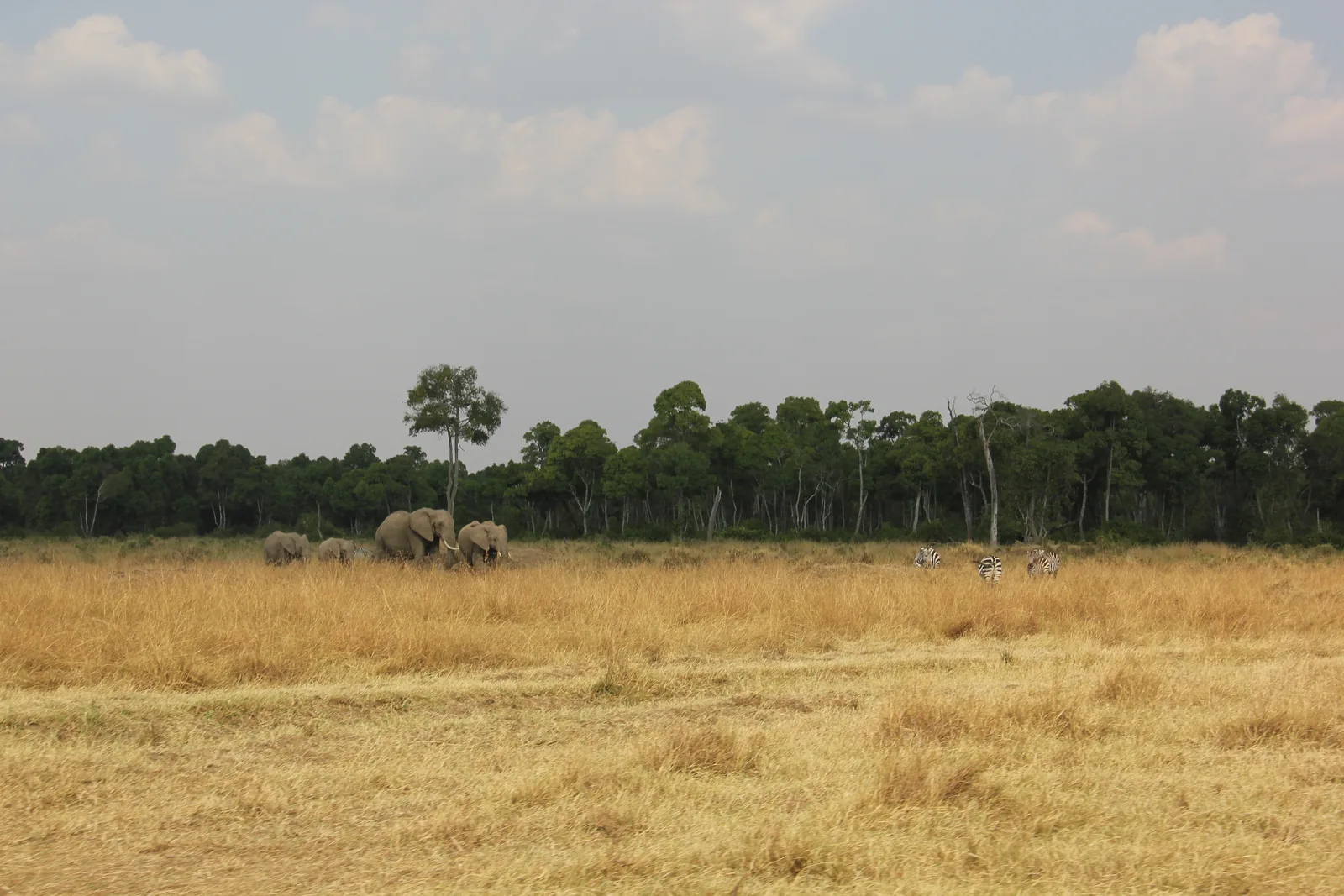
Nature · Western part, 510 km² (197 sq mi)
Around a third of the reserve, managed by the non-profit Mara Conservancy since 2001.
A third of the reserve, run by a non-profit organisation.
Open in OpenStreetMap ↗Location source ↗
-1.40062, 34.92301
Loading map …