


Arrival · Entrance
Entrance 1
Guided from here · Ad
Partner links: we may earn a commission if you book. Dates and prices with the provider.
Open in OpenStreetMap ↗Location source ↗
44.90497, 15.61119

Guided tour · GetYourGuide
Plitvice Lakes guided walking tour with ticket reservation ↗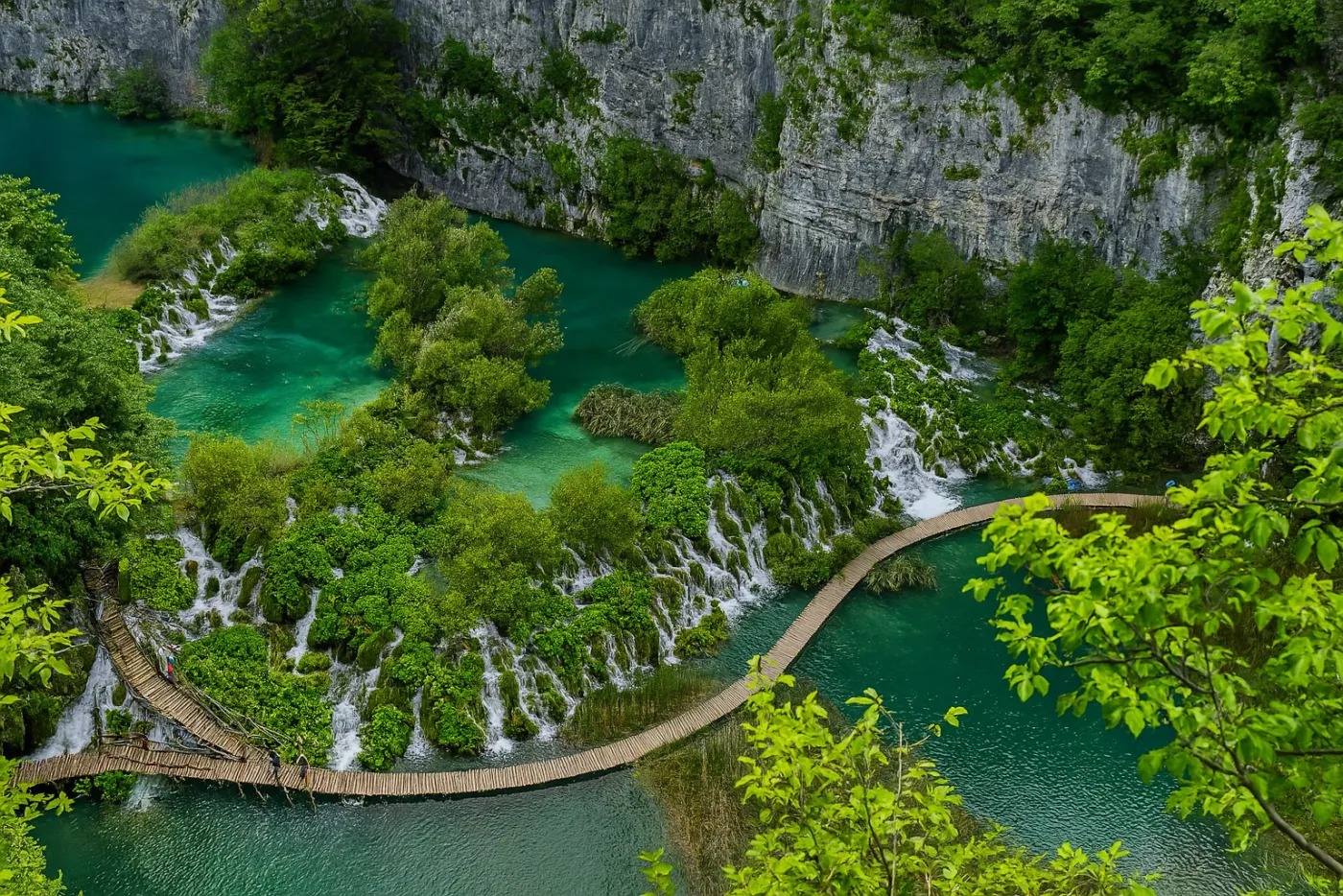
Guided tour · GetYourGuide
Plitvice from your accommodation near the park: private tour with pick-up and tickets ↗Accommodation around the park
Guided tour · GetYourGuide
Plitvice early in the morning: guided tour from Entrance 1 at opening time ↗Start on the map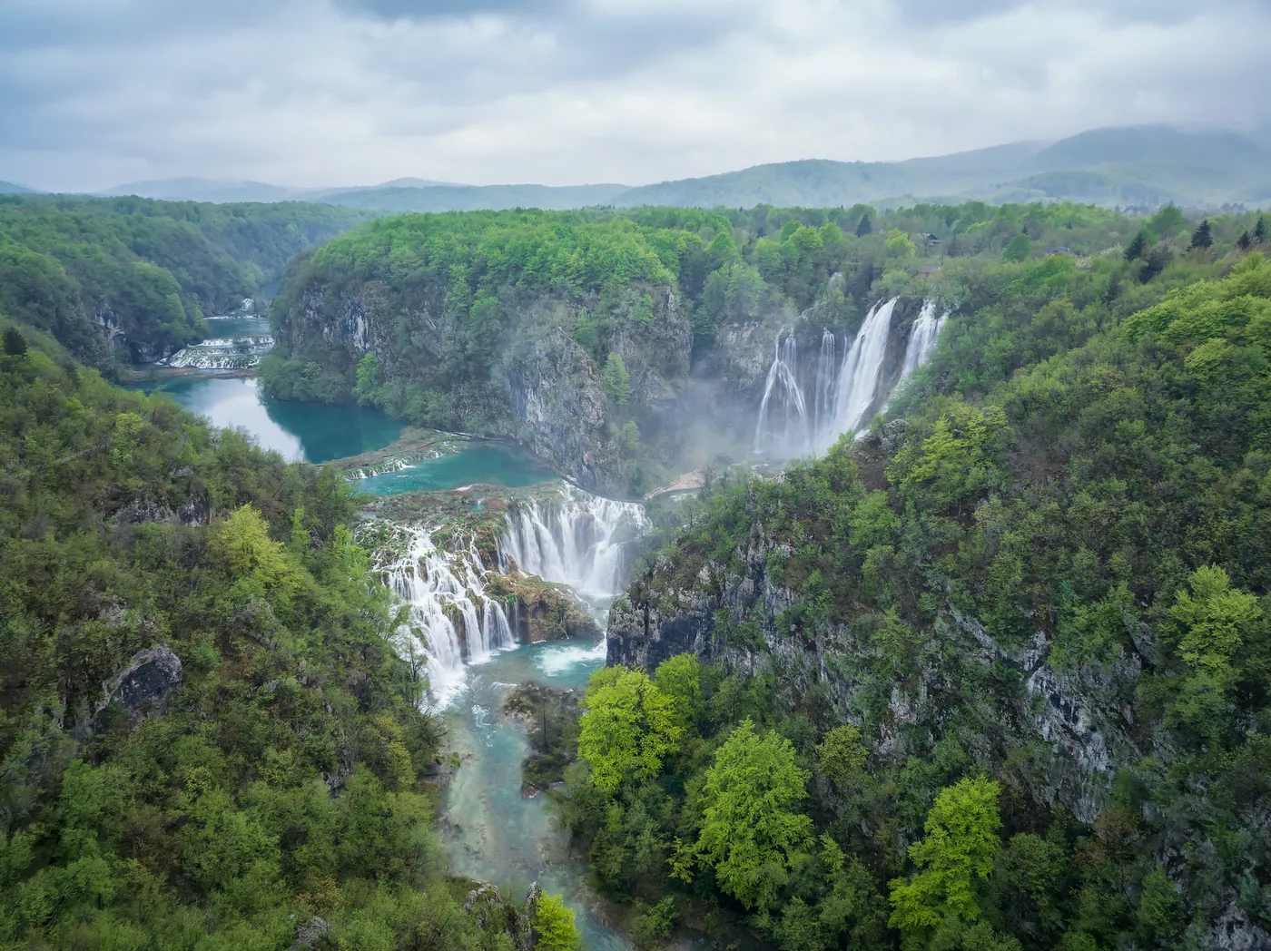
Scenic flight · GetYourGuide
From Sinj: private scenic flight over Krka, Velebit and the Plitvice Lakes ↗Sinj (Piket airfield)Ad · partner links: we may earn a commission if you book. Offer details checked 27 Sep 2026; dates and prices with the provider.
Arrival · Entrance
Guided from here · Ad
Partner links: we may earn a commission if you book. Dates and prices with the provider.
Open in OpenStreetMap ↗Location source ↗
44.90497, 15.61119
Where to stay · Hotel · in the park
Where to stay: Hotel Jezero and campsites
Hotel · in the park · Hotel near Entrance 2 and Lake Kozjak. The park authority lists parking, Wi-Fi and pet-friendly rooms, among other things. Check terms directly with the hotel.
Open in OpenStreetMap ↗Location source ↗
44.88383, 15.61854
Where to stay · Campsite · nearby
The larger of the park's two campsites, by the Korana canyon. Pitches for motorhomes, caravans and tents, plus bungalows; you can choose your own pitch.
Where to stay: Hotel Jezero and campsites
Campsite · nearby · Pitches and bungalows by the Korana canyon near the park. Check the season and the type of accommodation you want directly with the operator.
Open in OpenStreetMap ↗Location source ↗
44.94832, 15.64257
Where to stay · Campsite · near Korenica
The smaller, quiet campsite on the edge of the national park, surrounded by pine forest between Lička Plješivica and Mrsinj.
Where to stay: Hotel Jezero and campsites
Campsite · near Korenica · Campsite run by the park authority near Korenica. For your park visit, allow for the onward journey to your chosen entrance.
Open in OpenStreetMap ↗Location source ↗
44.76508, 15.68830
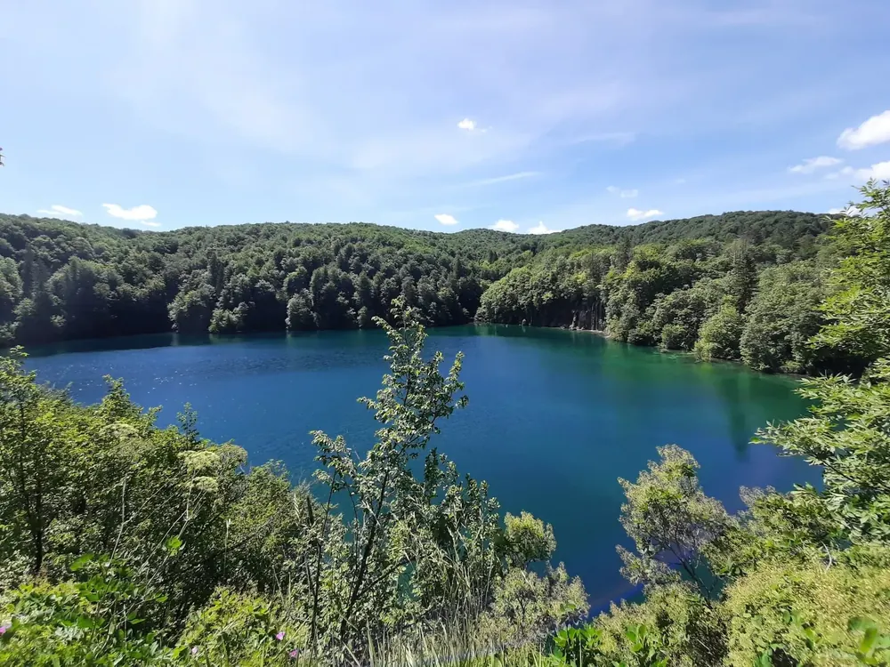
Arrival · Entrance
Open in OpenStreetMap ↗Location source ↗
44.88292, 15.62367
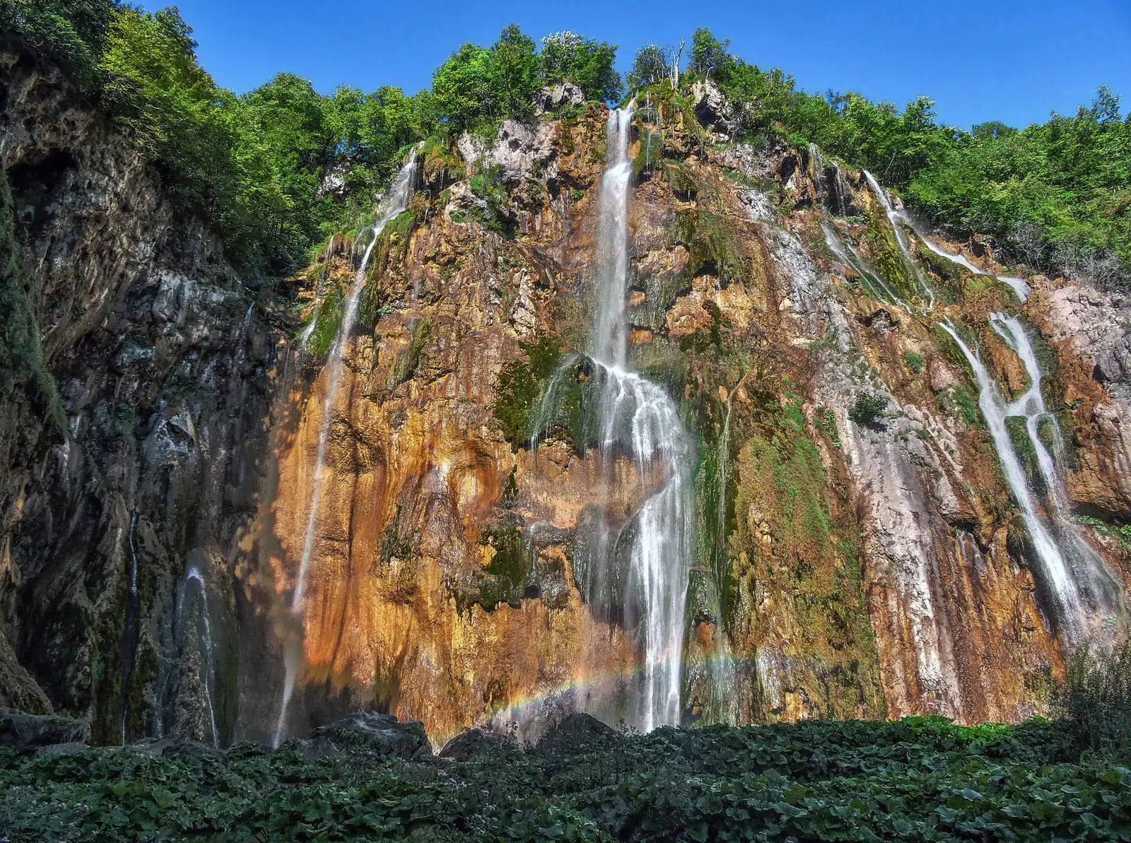
Water · Waterfall
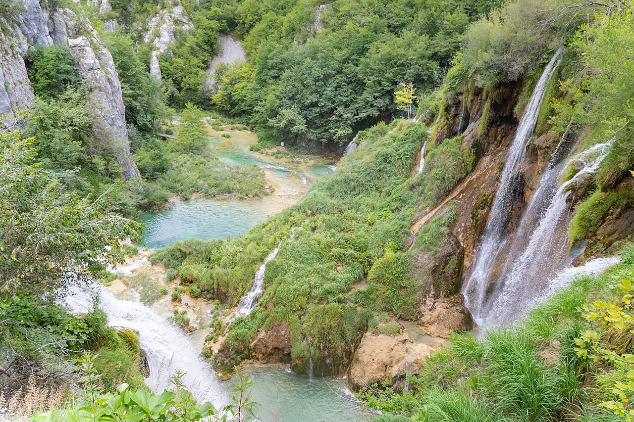
Here the Plitvica stream drops 62 m (203 ft), and 87 m (285 ft) in all down to the Korana. That makes Veliki slap the highest waterfall in the park and in Croatia.
For many it is the image of the Plitvice Lakes, yet none of the 16 lakes feeds it: the water comes from the Plitvica stream, whose source is three kilometres away.
Open in OpenStreetMap ↗Location source ↗
44.90254, 15.60790
Viewpoint · Viewpoint
A viewpoint looking out over Veliki slap. Because the existing viewpoint was so crowded, the park authority opened a second one at Entrance 1 in 2018.
Open in OpenStreetMap ↗Location source ↗
44.90313, 15.61061
Water · Waterfalls
This is where the lake system ends: the water plunges over the Sastavci waterfalls, and the Korana river rises at their foot.
Open in OpenStreetMap ↗Location source ↗
44.90283, 15.60927
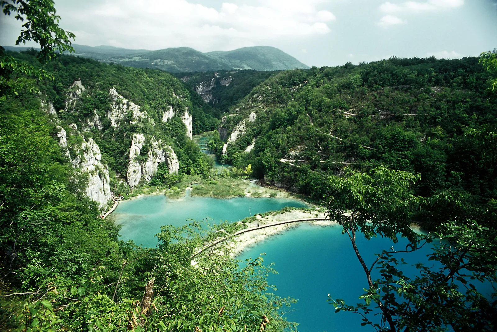
Water · Lake
According to the park authority, the view of the Sastavci and the lakes Novakovića Brod and Kaluđerovac from one of the viewpoints above the Korana has always been the most common picture of the Plitvice Lakes; its postcard of this view dates from around 1930.
Four lakes in a deep, steep-walled limestone canyon; at the end the water plunges over the Sastavci and becomes the Korana.
Open in OpenStreetMap ↗Location source ↗
44.90172, 15.61051
Water · Lake
One of the Lower Lakes; it is fed from Milanovac by Slap Milke Trnine, one of the most beautiful waterfalls there.
Open in OpenStreetMap ↗Location source ↗
44.89884, 15.61110
Water · Waterfall
One of the most beautiful waterfalls of the Lower Lakes, between Milanovac and Gavanovac. In 1898 the Plitvice Lakes beautification society named it after the opera singer Milka Trnina, who had donated the entire proceeds of a concert to it. It is the only waterfall of the lakes named after a well-known person during her lifetime.
Open in OpenStreetMap ↗Location source ↗
44.89815, 15.61070
Water · Lake
One of the lakes in the limestone canyon of the Lower Lakes. Programme A passes it heading upstream as far as the Kozjak bridge, where the path climbs to the east side of the canyon.
Open in OpenStreetMap ↗Location source ↗
44.89740, 15.61055
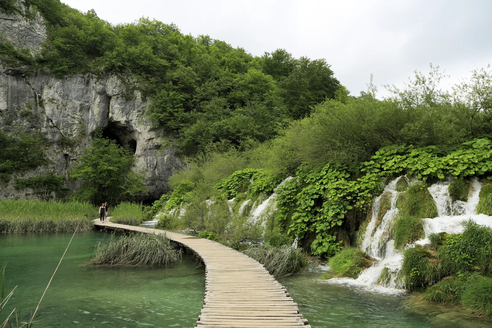
Mountains & rock · Cave
The only cave in the park that visitors may enter: three chambers joined by a wide passage, 68 m long in total. It has been protected as a geomorphological natural monument since 1964.
The only cave in the park you may enter, formed when the floor of a sinkhole collapsed.
Open in OpenStreetMap ↗Location source ↗
44.89995, 15.61179
Water · Lake
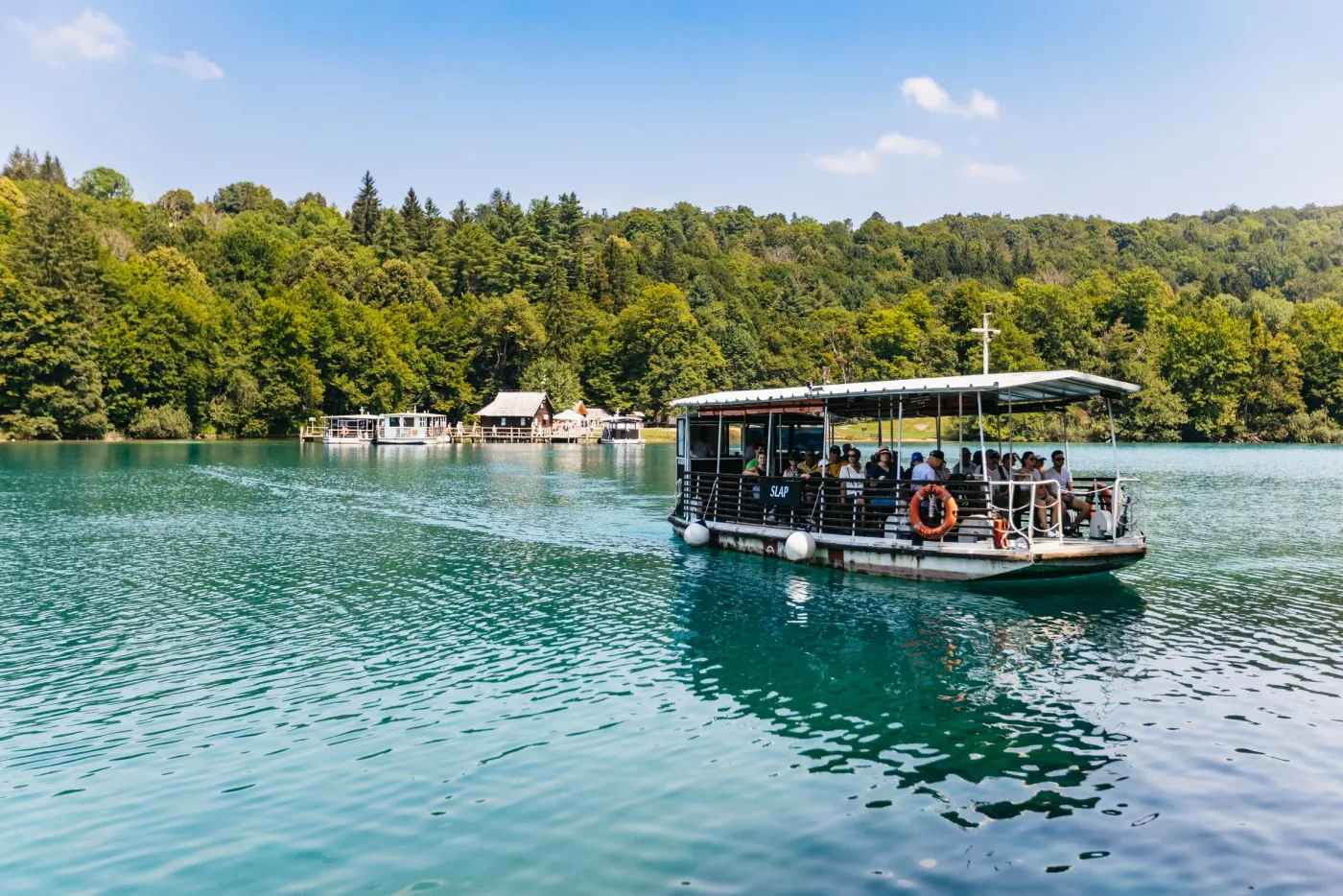
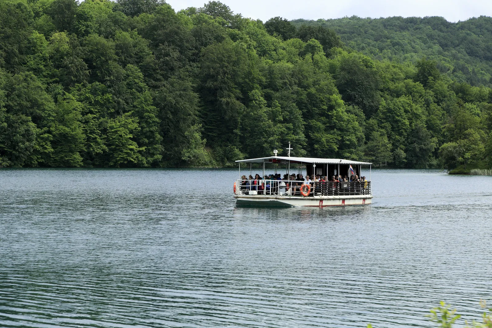
At 82 ha the largest and at 47 m (154 ft) the deepest lake in the park, and the only one with tourist boats and an island. Kozjak forms the boundary between the Upper and Lower Lakes.
The largest and deepest of the Plitvice Lakes, and the only one with tourist boats.
Nature: how the lakes and tufa barriers form
Until about 400 years ago there were two lakes here, separated by a tufa barrier about 400 m wide and 36 m (118 ft) high. Today it lies about 6 m (20 ft) below the surface, and on sunny days you can see it from the boat as a pale ridge in the depths. It was long thought that the barrier at the Kozjak bridges grew faster and dammed the lake; dives in autumn 2019 suggest instead that part of the old barrier broke away.
Park authority: the sunken barrier of Lake Kozjak (in Croatian) ↗
Open in OpenStreetMap ↗Location source ↗
44.88850, 15.60700
Water · Lake
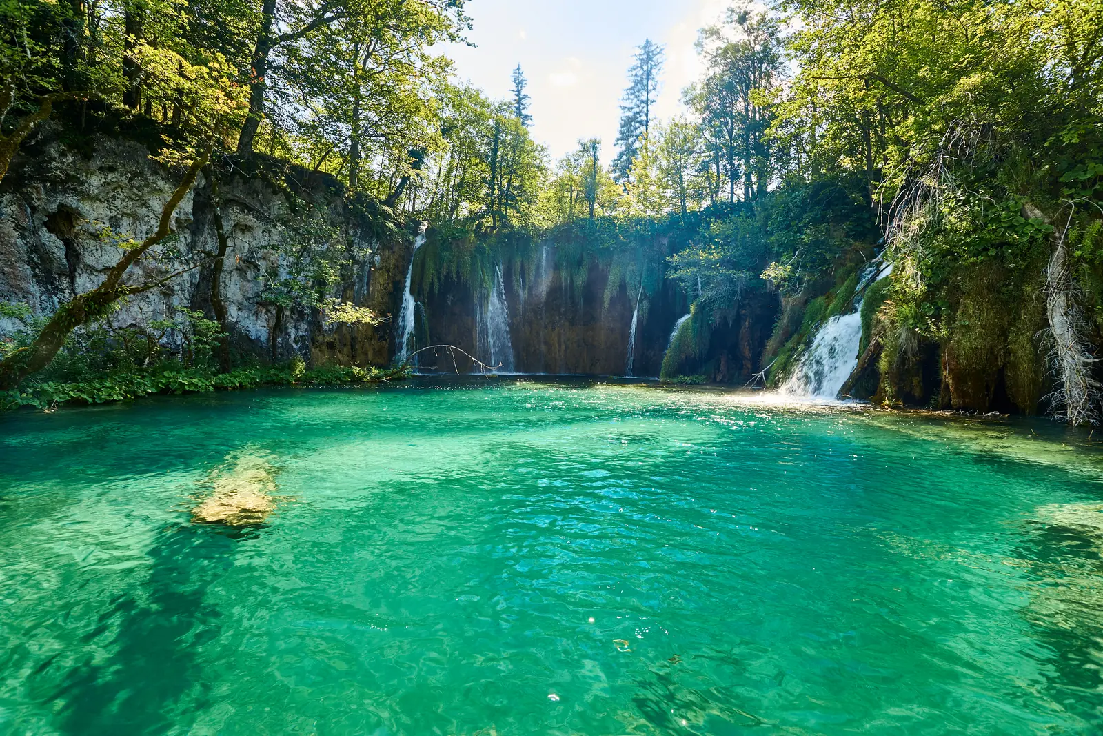
One of the twelve Upper Lakes, which formed on impermeable dolomite. They are larger than the Lower Lakes and have more indented, gentler shores.
The more spacious part of the park: more lakes, more waterfalls, and trails through dense forest along emerald-green lakes.
Open in OpenStreetMap ↗Location source ↗
44.87375, 15.60622
Water · Waterfall
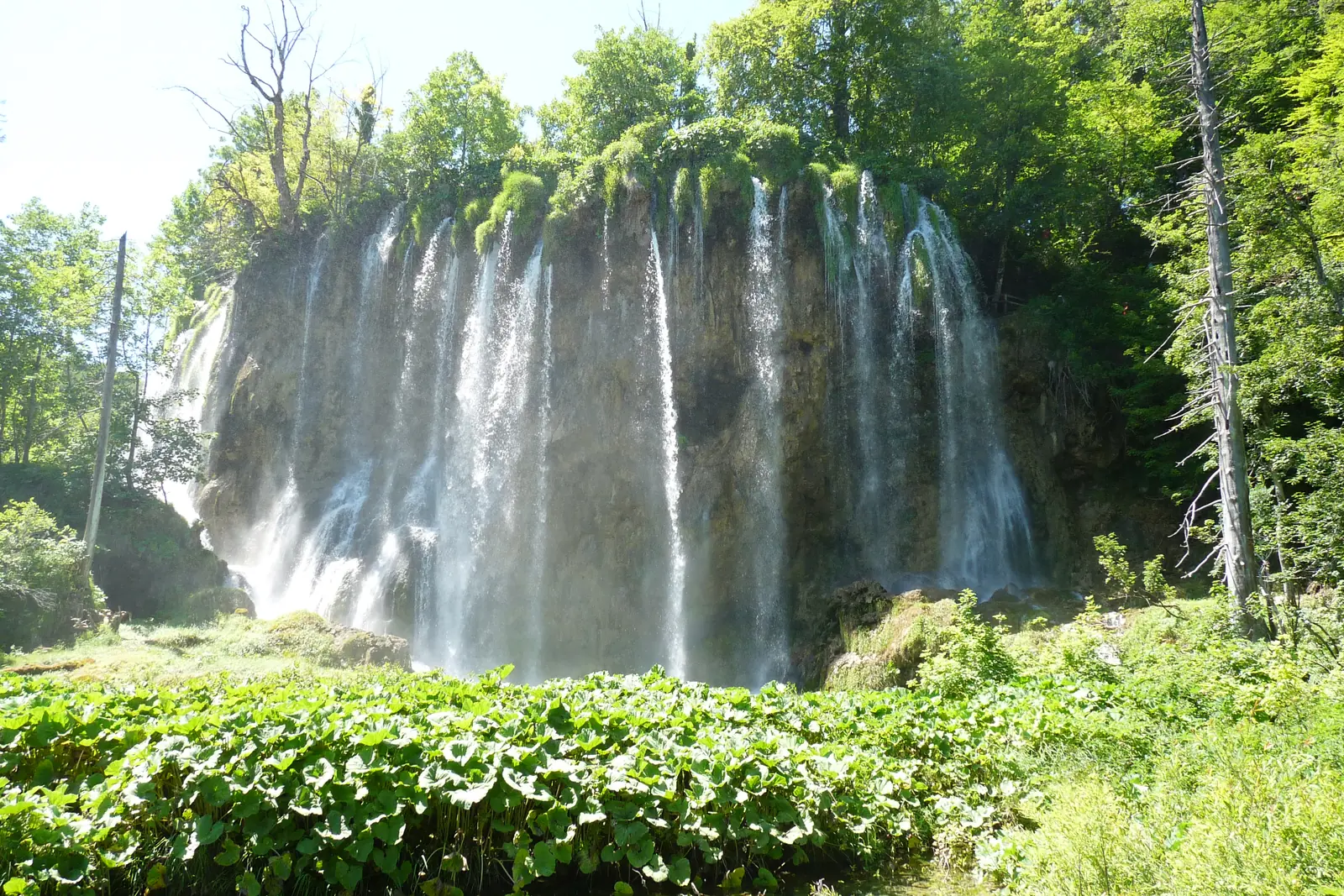
At 28 m (92 ft) the highest waterfall of the Upper Lakes. Besides Veliki slap, the park authority counts six more waterfalls over 20 m (66 ft) in the lake system, and twenty over 10 m (33 ft).
Open in OpenStreetMap ↗Location source ↗
44.87790, 15.60843
Water · Lake
The first of the Upper Lakes. According to the legend of the Black Queen, who gave people rain during a great drought, it takes its name from the word prositi, to plead.
Open in OpenStreetMap ↗Location source ↗
44.86659, 15.59804
Viewpoint · Viewpoint
A viewpoint at 684.82 m (2,247 ft), opened in 2024. It looks out over five of the Upper Lakes: Prošćansko jezero, Ciginovac, Okrugljak, Veliko jezero and Malo jezero.
Open in OpenStreetMap ↗Location source ↗
44.87372, 15.59676
Arrival · Boat dock
Dock on Lake Kozjak, where rowing is allowed. In the warmer part of the year, wooden rowing boats for four people are rented out here.
Open in OpenStreetMap ↗Location source ↗
44.88039, 15.61719
Arrival · Boat dock
Transfer point for the electric boats on Lake Kozjak: the short line from P1 and the long line to P3 meet here.
Open in OpenStreetMap ↗Location source ↗
44.88001, 15.61558
Arrival · Boat dock
Boat harbour at Kozjačka draga. The Čorkova uvala and Plitvica educational trails, which start at the Labudovac train stop, end here.
Open in OpenStreetMap ↗Location source ↗
44.89347, 15.60371
Arrival · Panoramic train stop
Panoramic train stop above the Lower Lakes. From here the route runs via St2 to St3 at the Upper Lakes.
Open in OpenStreetMap ↗Location source ↗
44.89665, 15.61191
Arrival · Panoramic train stop
The middle stop of the panoramic train, near Entrance 2 and Hotel Jezero. From here trains run to St1 above the Lower Lakes and to St3 at the Upper Lakes.
Open in OpenStreetMap ↗Location source ↗
44.88282, 15.61844
Arrival · Panoramic train stop
Panoramic train stop at Labudovac. The Čorkova uvala (21 km, 13 mi) and Plitvica (9 km, 5.6 mi) educational trails start here; both lead to the P3 boat harbour.
Open in OpenStreetMap ↗Location source ↗
44.87091, 15.59934
Loading map …