All places
Kicking Horse Campground location linked by the park authority. Check opening, site and access before you book.
Where to stay: hotels and camping in Yoho
Kicking Horse Location and facility details are linked on the official camping page. Check the season and booking procedure for this campground before your trip.
Campgrounds: facilities and location ↗
Add to your Yoho National Park visit Open in OpenStreetMap ↗ Location source ↗
51.42308, -116.43542
All places
Monarch Campground location linked by the park authority. Check opening, site and access before you book.
Where to stay: hotels and camping in Yoho
Monarch Location and facility details are linked on the official camping page. Check the season and booking procedure for this campground before your trip.
Campgrounds: facilities and location ↗
Add to your Yoho National Park visit Open in OpenStreetMap ↗ Location source ↗
51.42141, -116.44334
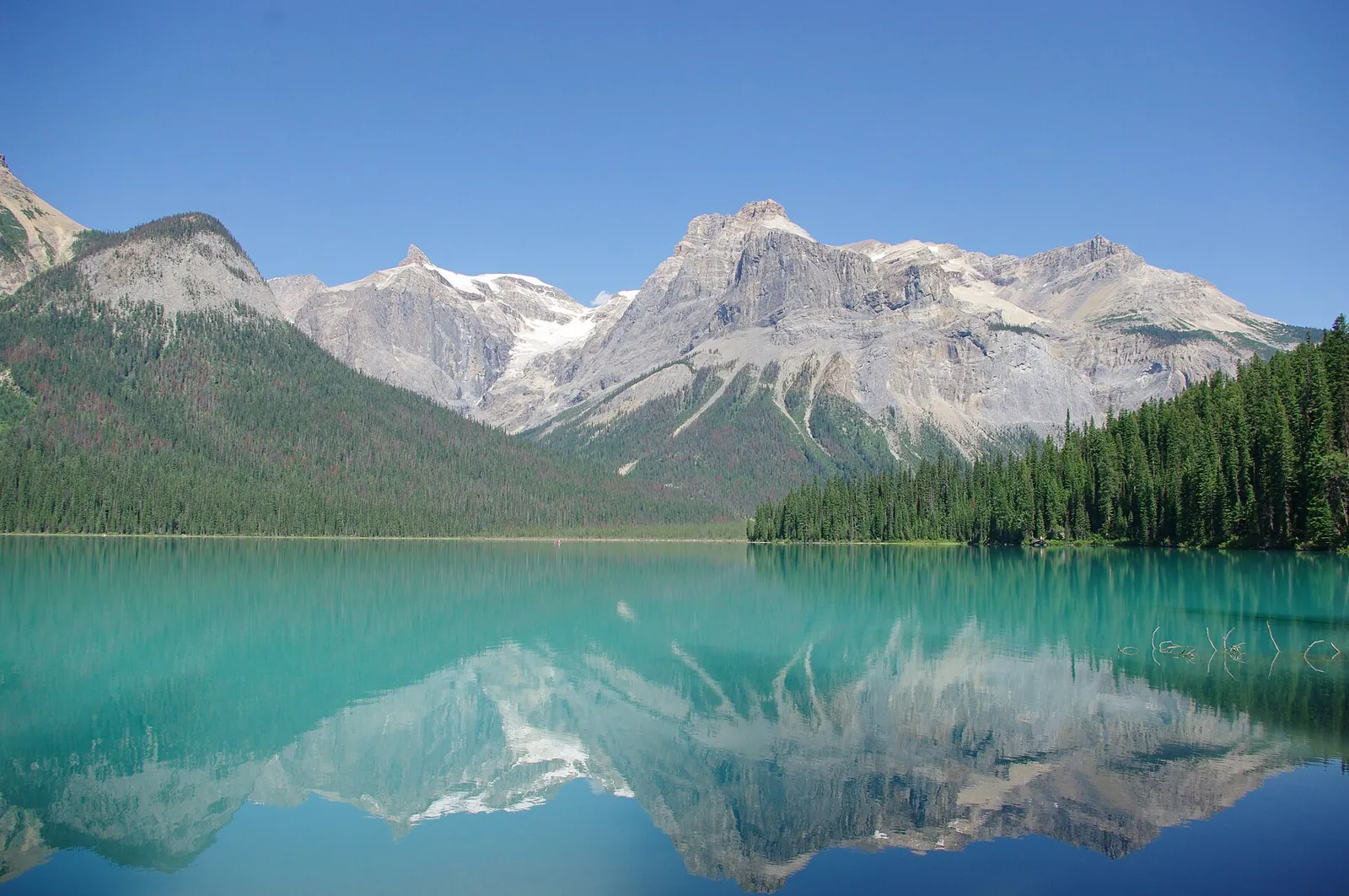
All places Photo: JZ85 ↗ · CC BY 3.0 ↗
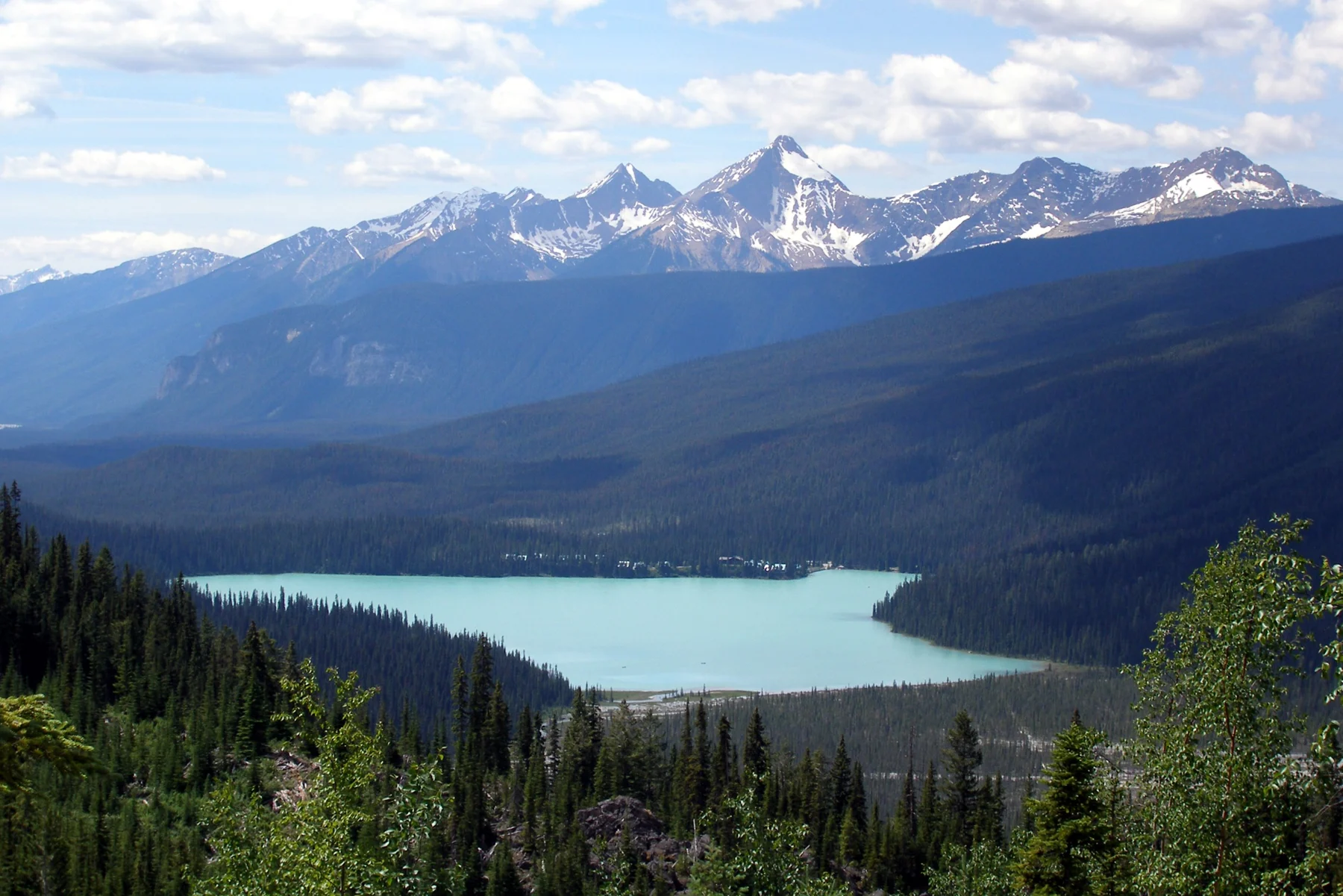
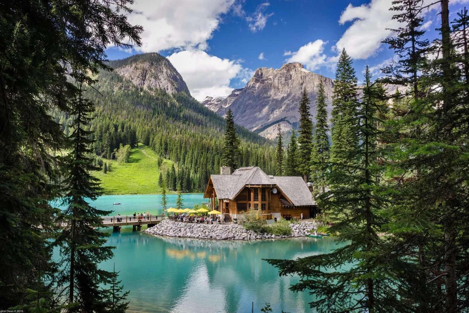
Emerald Lake The trail around the lake is easy. The hard part is the parking lot.
The emerald-green lake is the most searched-for place in the park. The lakeshore trail is easy; the parking lot is the bottleneck.
Lakeshore trail 5.2 km (3.2 mi) around the lake, with hardly any elevation change.
Accessible section Level gravel path from the parking lot to the bridge at the far end of the lake.
Parking The park authority explicitly describes parking spaces as extremely limited.
Views Mountain peaks and glaciers, plus wildflowers in summer.
Water sports All waters in Yoho are closed; see the separate card. Own page
Emerald Lake The trail around the lake is easy. The hard part is the parking lot.
Yoho National Park entry, as of 3 October 2026 Daily pass, adults (18–64) 12.25 CAD Daily pass, seniors (65+) 10.75 CAD Daily pass, family/group, up to 7 people in one vehicle 24.50 CAD
Fees & costs
Add to your Yoho National Park visit Open in OpenStreetMap ↗ Location source ↗
51.44374, -116.53322
All places
Emerald Lake Parking Start of the lakeshore loop and the hikes to Emerald Basin, Hamilton Lake and the Emerald Triangle. Fills early in summer and on weekends.
Own page
Emerald Lake The trail around the lake is easy. The hard part is the parking lot.
Fees & costs
Add to your Yoho National Park visit Open in OpenStreetMap ↗ Location source ↗
51.43895, -116.54119
All places
Canoe Rental Canoes for rent, first come, first served. Private boats are banned until 31 March 2027.
Own page
Emerald Lake The trail around the lake is easy. The hard part is the parking lot.
Fees & costs
Add to your Yoho National Park visit Open in OpenStreetMap ↗ Location source ↗
51.43971, -116.54130
All places
Hamilton Falls At 0.8 km (0.5 mi) on the steep trail to Hamilton Lake.
Own page
Emerald Lake The trail around the lake is easy. The hard part is the parking lot.
Fees & costs
Add to your Yoho National Park visit Open in OpenStreetMap ↗ Location source ↗
51.43548, -116.55021
All places
Natural Bridge On Emerald Lake Road, 4 km (2.5 mi) west of Field: the river has cut its way under a natural rock bridge.
Own page
Emerald Lake The trail around the lake is easy. The hard part is the parking lot.
Fees & costs
Add to your Yoho National Park visit Open in OpenStreetMap ↗ Location source ↗
51.38181, -116.53024
All places
Yoho National Park Visitor Centre Parks Canada information on the Trans-Canada Highway in Field, with a small Burgess Shale exhibit. Washrooms open around the clock.
Own page
Emerald Lake The trail around the lake is easy. The hard part is the parking lot.
Fees & costs
Add to your Yoho National Park visit Open in OpenStreetMap ↗ Location source ↗
51.39798, -116.49185
Locations verified from the linked original sources and OpenStreetMap. The map shows no trails or park boundaries; markers do not imply that access is permitted.
Map: © OpenStreetMap contributors, OpenMapTiles, OpenFreeMap. Elevation: Terrain Tiles (Mapzen, AWS Open Data); 3DEP, GMTED2010 and SRTM courtesy of the U.S. Geological Survey; EU-DEM (Copernicus, European Union); ETOPO1 (NOAA); ArcticDEM (NSF, DigitalGlobe); Geoscience Australia; Open Data Austria (DGM); Open Government Licence – Canada; INEGI; Land Information New Zealand; Kartverket; Environment Agency (UK).
Park photo: Photo: China Crisis ↗ · CC BY 2.5 ↗