


Where to stay · Campground
Snowforest Campground
62 sites and three MicrOcubes at the start of the parkway. Welcome Centre 16 May to 11 October 2026, 8:00–21:00.
Open in OpenStreetMap ↗Location source ↗
51.01786, -118.20419

11 places with verified coordinates · 6 with photo
Shuttle · authorized operators · Revy Rides and Mount Revelstoke Shuttle, authorized by the Mount Revelstoke park authority (Parks Canada)
Summit shuttle from Revelstoke up the Meadows in the Sky Parkway ↗Revy Rides: pick-up at Grizzly Plaza or at your hotel or campground in Revelstoke. Mount Revelstoke Shuttle: Revelstoke Information and Business Center, Best Western Revelstoke or Snowforest Campground; be there 15 minutes before departure.Park authority programmes without partner links. Details checked 2 Oct 2026; dates and prices with the provider.
Where to stay · Campground
62 sites and three MicrOcubes at the start of the parkway. Welcome Centre 16 May to 11 October 2026, 8:00–21:00.
Open in OpenStreetMap ↗Location source ↗
51.01786, -118.20419
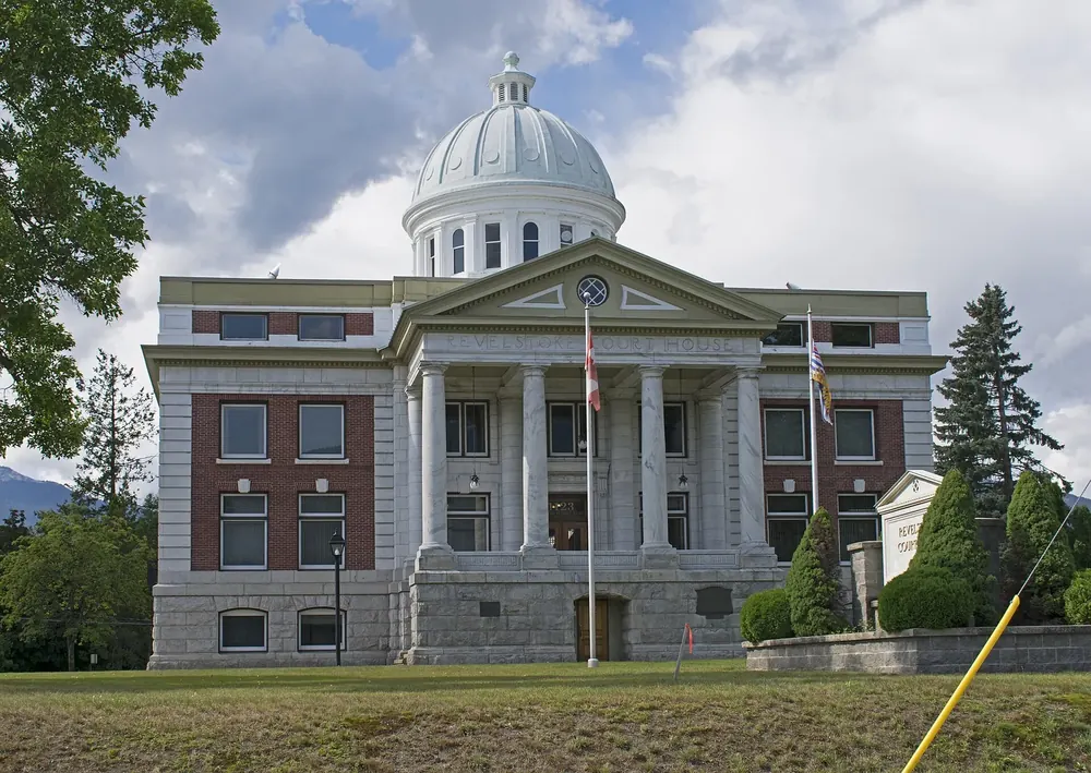
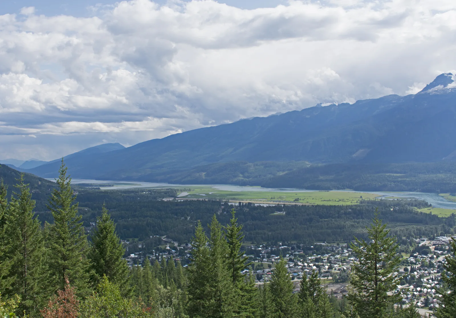
Surroundings · Town on the park boundary
Parks Canada office at 301 W 3rd Street, open all year Mon–Fri 8:00–12:00 and 13:00–16:00. Pass machine outside the office.
Open in OpenStreetMap ↗Location source ↗
50.99804, -118.19567
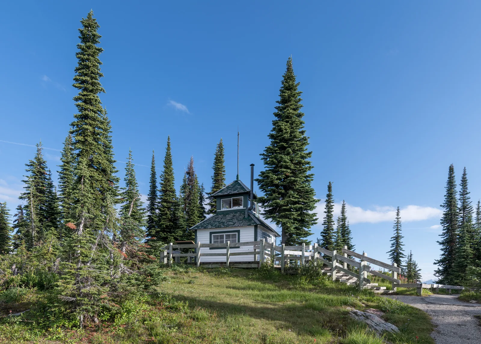
Mountains & rock · Summit
1 km (0.6 mi) on foot from the Balsam Lake parking lot. Historic fire lookout; the trail to it has been closed since 9 July 2026.
At the top there are short loops through the meadows, a small lake and a historic fire lookout.
Open in OpenStreetMap ↗Location source ↗
51.04701, -118.13950
Water · Lake and parking lot
End of the Meadows in the Sky Parkway at 1,835 m (6,020 ft); picnic shelter with wood stove, start of the summit trails.
Open in OpenStreetMap ↗Location source ↗
51.04068, -118.14935
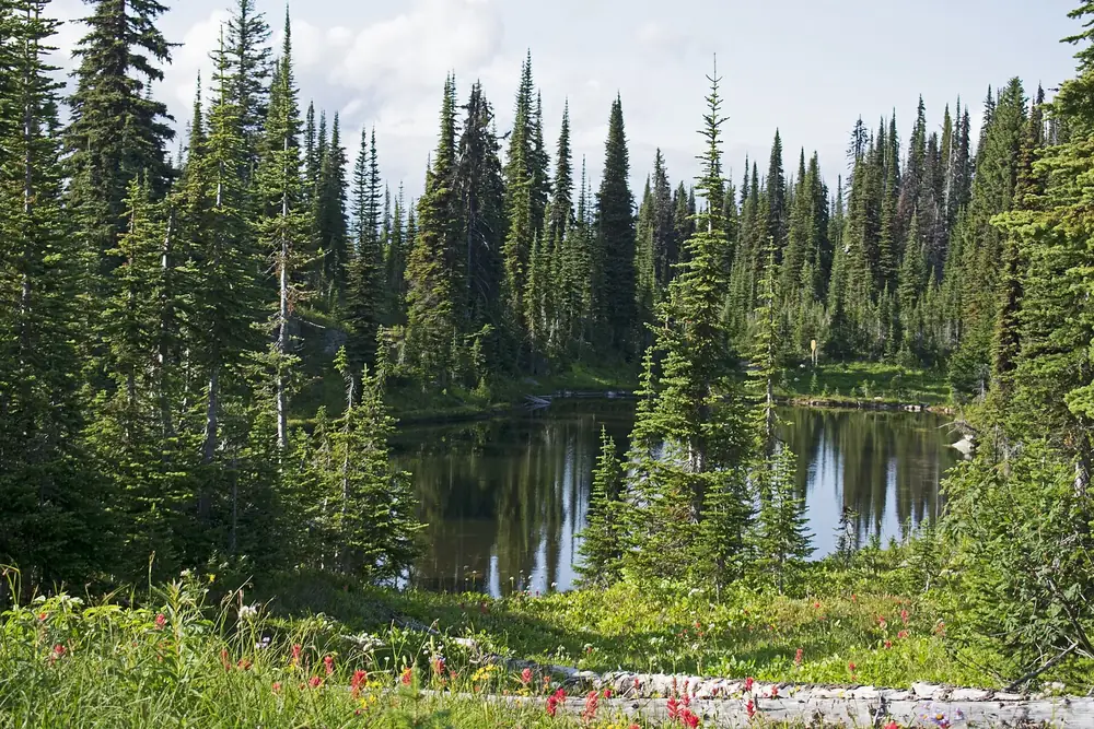
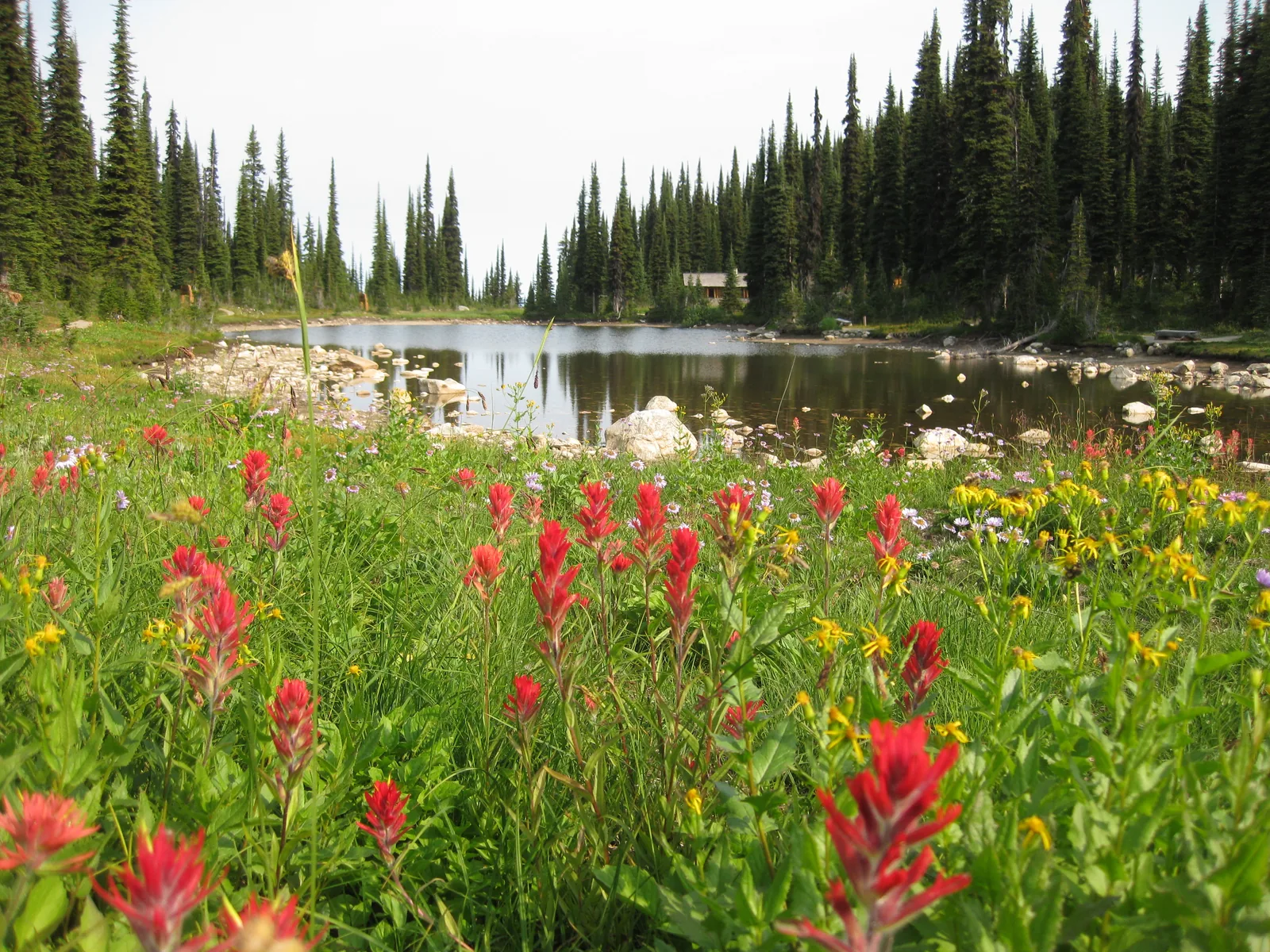
Water · Mountain lake
Small lake at the summit; 400 m (1,312 ft) loop, about ten minutes. Accessible parking nearby on request.
Open in OpenStreetMap ↗Location source ↗
51.04767, -118.14250
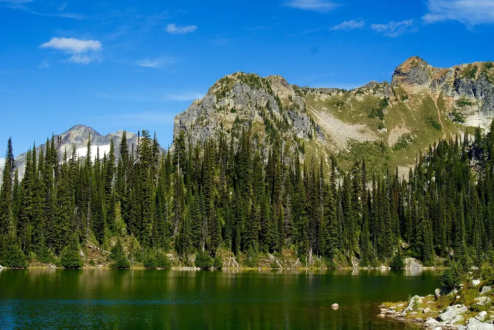
Water · Mountain lake with campsite
14.2 km (8.8 mi) return, 465 m (1,526 ft) of climbing. A 1920s warden cabin on the shore; four tent pads.
Open in OpenStreetMap ↗Location source ↗
51.08148, -118.10877
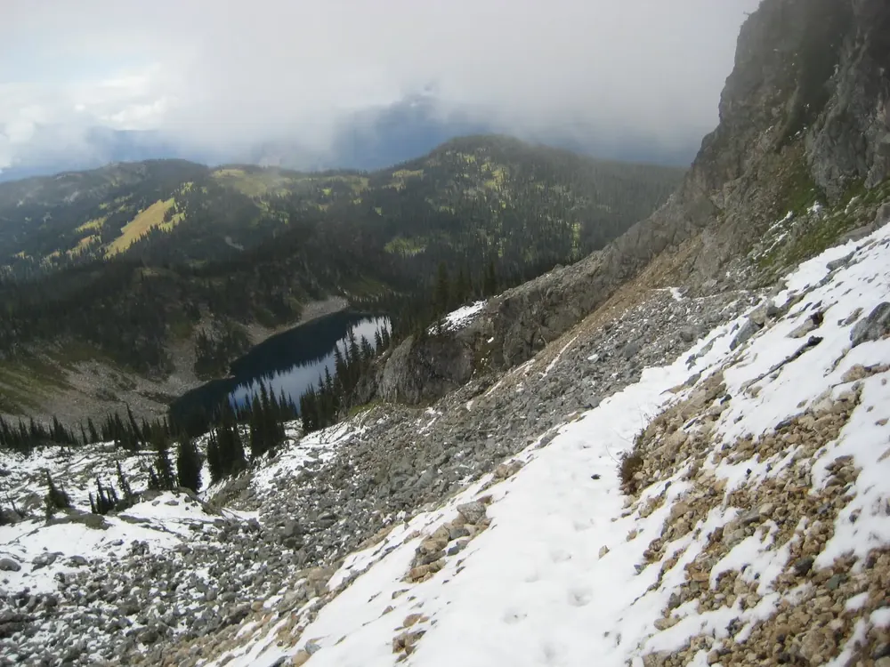
Water · Mountain lake
11.6 km (7.2 mi) return; 5.4 km (3.4 mi) on the Eva Lake trail, then 400 m (1,312 ft) to the right.
Open in OpenStreetMap ↗Location source ↗
51.07057, -118.10495
Water · Mountain lakes with campsite
18.8 km (11.7 mi) return, 714 m (2,343 ft) of climbing over Jade Pass. Four tent pads, reservation required.
Open in OpenStreetMap ↗Location source ↗
51.07155, -118.07172
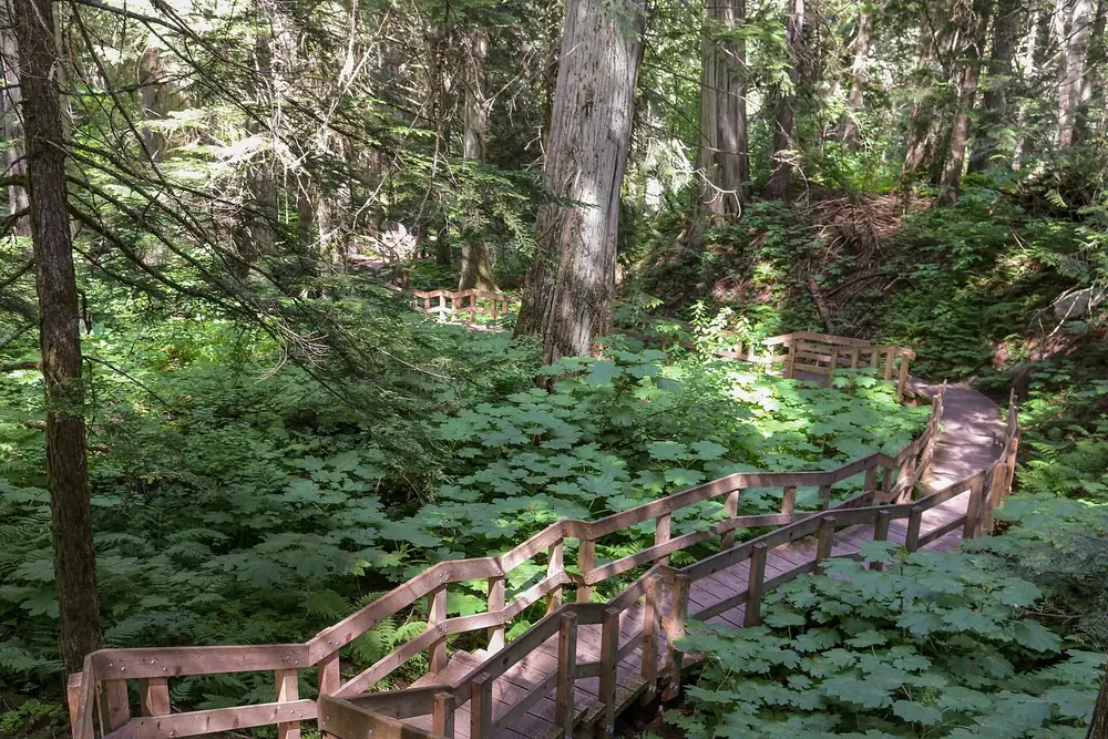
Trails · Boardwalk
500 m (1,640 ft) through cedars over 500 years old, 30 km (18.6 mi) east of Revelstoke on Highway 1. Open late May to mid-October.
Open in OpenStreetMap ↗Location source ↗
51.10693, -117.90599
Trails · Boardwalk
500 m (1,640 ft) along the Illecillewaet River to a wetland with a bird-watching platform, 28 km (17.4 mi) east of Revelstoke.
Open in OpenStreetMap ↗Location source ↗
51.08857, -117.91852
Where to stay · Winter cabin
At 1,550 m (5,085 ft), six beds, December to April. Only reachable on foot, on skis or on snowshoes.
Open in OpenStreetMap ↗Location source ↗
51.02322, -118.15531
Loading map …