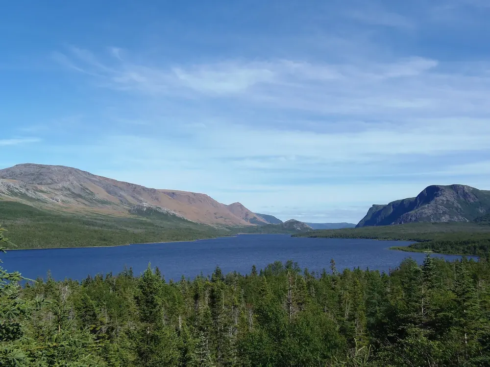
All places Surroundings Photo: Yig256 ↗ · CC BY-SA 4.0 ↗
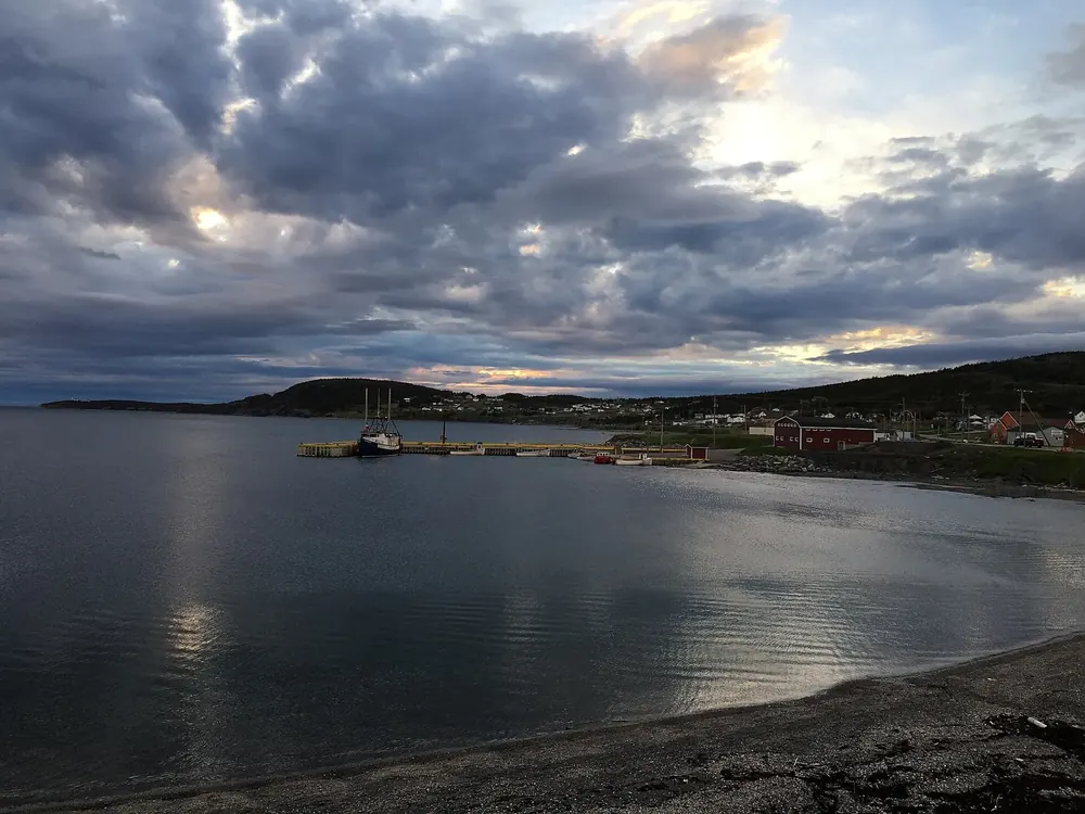
Rocky Harbour Visitor Centre Open all year: 15 May to 12 October 2026 daily 9:00–17:00; in winter Tuesday, Thursday and Friday 10:00–12:00 and 13:00–15:00. Park passes and permits.
Add to your Gros Morne National Park visit Open in OpenStreetMap ↗ Location source ↗
49.57221, -57.87504
All places Photo: Adavyd ↗ · CC BY-SA 4.0 ↗
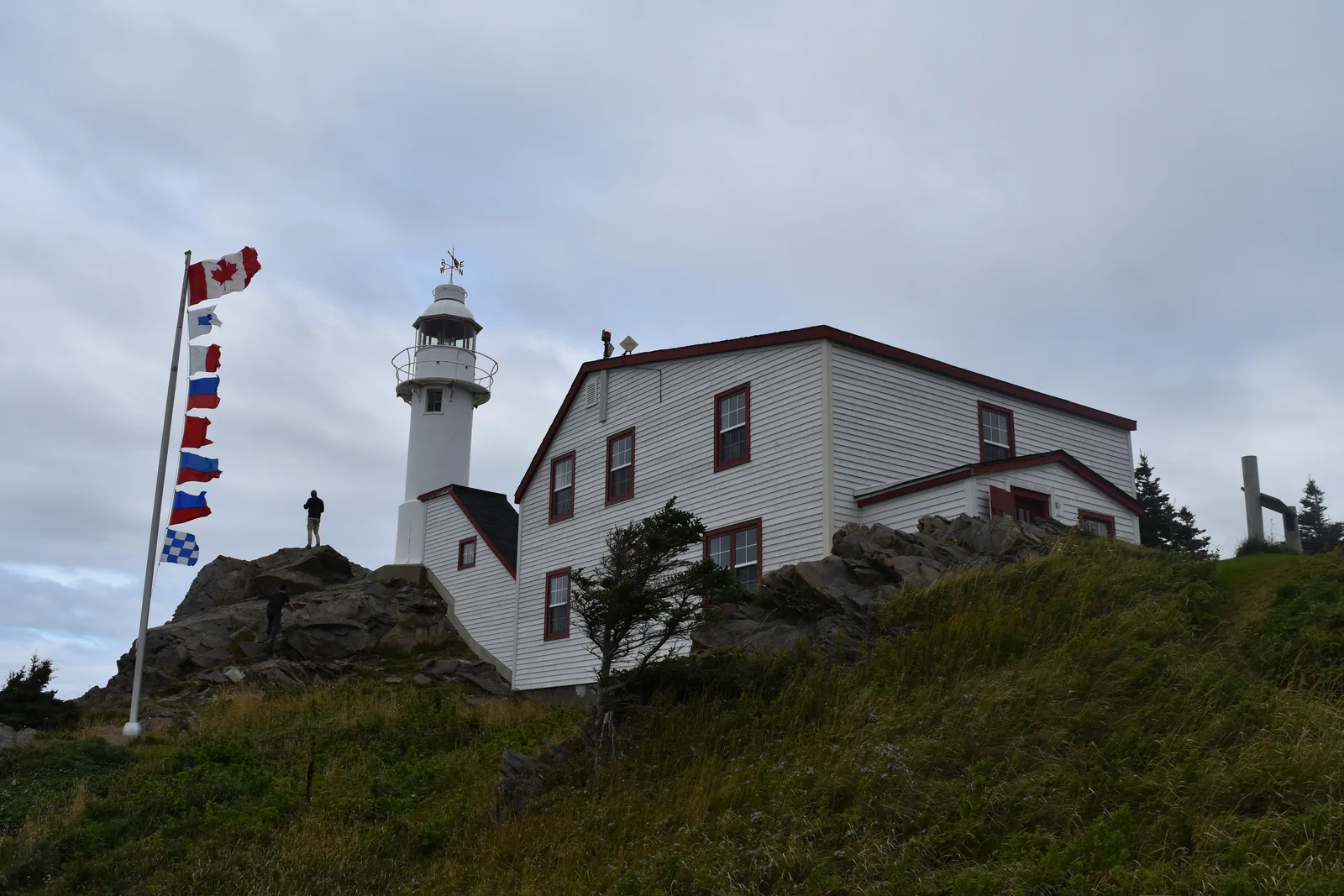
Lobster Cove Head Lighthouse Exhibit 15 May to 12 October 2026 daily 9:00–17:00, grounds all year. Short trails through tuckamore forest, tidal pools, sunsets.
A hundred-year-old lighthouse at the entrance to Bonne Bay — today the gateway to the park’s cultural history.
Exhibit 15 May to 12 October 2026, daily 9:00–17:00.
Content historic photos, folk songs, lighthouse keepers’ logbooks.
Trails short paths through tuckamore forest to viewpoints.
Coast tidal pools with periwinkles, sea anemones and crabs.
Evenings according to the park authority, the place for sunsets; sometimes whales. Guided from here
Park authority programmes, no partner links. Dates on their website.
Add to your Gros Morne National Park visit Open in OpenStreetMap ↗ Location source ↗
49.60290, -57.95568
All places Photo: Ryan Hodnett ↗ · CC BY-SA 4.0 ↗
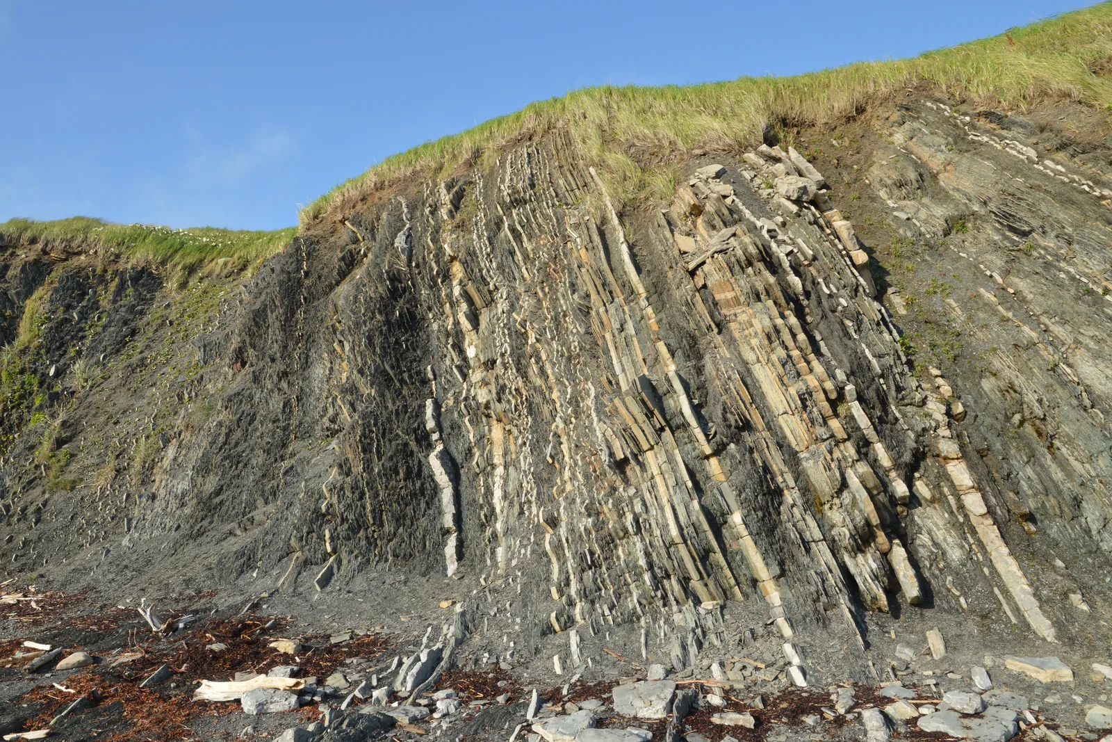
Green Point Cliffs with the boundary between the Cambrian and the Ordovician, 500 m (0.3 mi) north of Green Point Campground on Route 430. Best at low tide; watch for rockfall.
Rock layers tilted on end by the sea, in which geologists found the boundary between two geological periods.
Age almost 500 million years, formed on the floor of an ancient ocean.
Significance fossils mark the boundary between the Cambrian and the Ordovician — a global reference point.
Location 500 m (0.3 mi) north of Green Point Campground on Route 430.
Trails short path to the shore, cliff trail to the viewpoint.
Guided walk “A Stroll Through Strata”, 1.5 hours.
Note visit at low tide, keep away from the cliff edge, rockfall. Add to your Gros Morne National Park visit Open in OpenStreetMap ↗ Location source ↗
49.68332, -57.96519
All places Photo: Paul Gierszewski ↗ · CC BY-SA 3.0 ↗
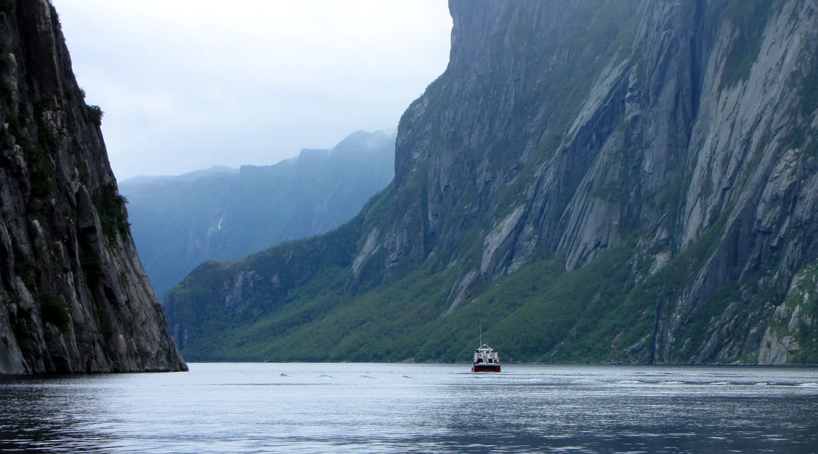
Western Brook Pond boat dock Start of the two-hour boat tour, 3 km (1.9 mi) walk from the car park on Route 430, 27 km (17 mi) north of Rocky Harbour. Mid-May to mid-October.
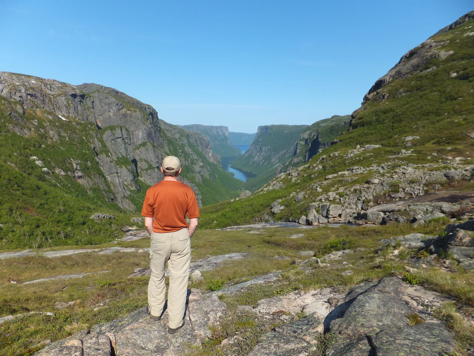
A fjord carved by glaciers and cut off from the sea — fresh water between rock walls that are a billion years old.
Size the largest lake in the park.
Cliffs up to 650 m (2,133 ft) high, seen from Snug Harbour.
Waterfalls drop from around 600 m (1,969 ft) and often blow away before they reach the lake.
Access 3 km (1.9 mi) trail from the car park, about 45 minutes.
Boat tour 2 hours with commentary, mid-May to mid-October, operated by Bontours.
Hiking unmarked route to Snug Harbour, 15 km (9.3 mi), 6–8 hours. Add to your Gros Morne National Park visit Open in OpenStreetMap ↗ Location source ↗
49.78090, -57.84185
All places
Broom Point Restored summer fishing premises of the Mudge family (1941–1975). Grounds open all year, buildings only when staffed. Start of Steve’s Trail.
Add to your Gros Morne National Park visit Open in OpenStreetMap ↗ Location source ↗
49.83712, -57.87079
All places Photo: BlueDrury ↗ · CC BY-SA 4.0 ↗
Gros Morne (summit) 806 m (2,644 ft), the highest point in the park. Loop 17 km (10.6 mi), 1,000 m (3,281 ft) of ascent; summit trail closed from 1 May to 27 June.
Add to your Gros Morne National Park visit Open in OpenStreetMap ↗ Location source ↗
49.59401, -57.78388
All places
Berry Hill Campground The largest campground in the park with 69 sites, 25 of them with hook-ups, three oTENTiks and six Rustic Cabins. Start of the trail to Baker’s Brook Falls.
Add to your Gros Morne National Park visit Open in OpenStreetMap ↗ Location source ↗
49.62439, -57.92451
All places Surroundings Photo: ASWanderer ↗ · CC BY-SA 4.0 ↗
Discovery Centre Woody Point Exhibits on geology and on the Mi’kmaw community of Miawpukek. 1 June to 7 September 2026 9:00–17:00, otherwise from 15 May and until 12 October 9:00–16:30. Start of the Lookout Trail.
Add to your Gros Morne National Park visit Open in OpenStreetMap ↗ Location source ↗
49.49182, -57.92815
All places Photo: Ryan Hodnett ↗ · CC BY-SA 4.0 ↗
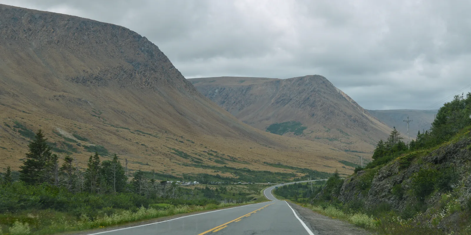
Tablelands Trail 4 km (2.5 mi) return, easy; car park 4 km (2.5 mi) west of the Discovery Centre on Route 431. In summer, the starting point of guided walks.
A mountain from inside the Earth: bare, orange and with rare, tiny plants that you should not step on.
Origin Earth’s mantle, pushed to the surface around half a billion years ago.
Exposed by more than 400 million years of erosion.
Trail Tablelands Trail, 4 km (2.5 mi), easy, into Winter House Brook Canyon.
Guided “Walk Upon the Earth’s Mantle”, 2 hours, included in admission.
Off trail unmarked ascent, for experienced hikers only.
In winter often wind-blasted and icy; avalanche risk in Southwest Gulch and The Bowl. Add to your Gros Morne National Park visit Open in OpenStreetMap ↗ Location source ↗
49.47312, -57.96066
All places Photo: ASWanderer ↗ · CC BY-SA 4.0 ↗
Trout River Pond One of two lakes where small motorboats are allowed. The 14 km (8.7 mi) shoreline trail leads into an untouched part of the Tablelands.
Add to your Gros Morne National Park visit Open in OpenStreetMap ↗ Location source ↗
49.44446, -58.10326
Locations verified from the linked original sources and OpenStreetMap. The map shows no trails or park boundaries; markers do not imply that access is permitted.
Map: © OpenStreetMap contributors, OpenMapTiles, OpenFreeMap. Elevation: Terrain Tiles (Mapzen, AWS Open Data); 3DEP, GMTED2010 and SRTM courtesy of the U.S. Geological Survey; EU-DEM (Copernicus, European Union); ETOPO1 (NOAA); ArcticDEM (NSF, DigitalGlobe); Geoscience Australia; Open Data Austria (DGM); Open Government Licence – Canada; INEGI; Land Information New Zealand; Kartverket; Environment Agency (UK).
Park photo: Photo: D. Gordon E. Robertson ↗ · CC BY-SA 3.0 ↗



 Surroundings