National Parks Atlas
To the park
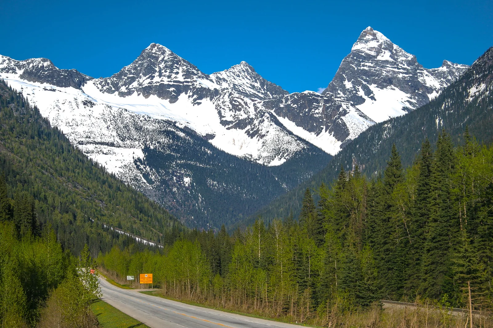
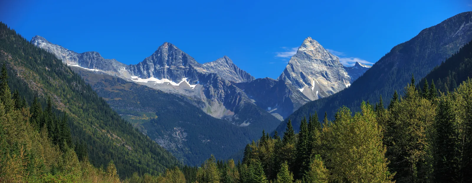
The Trans-Canada Highway in Glacier National Park in Canada runs through a forested valley towards the snow-covered rock peaks of Eagle Peak and Mount Sir Donald

Glacier National Park (Canada): map

18 places with verified coordinates · 9 with photo

Arrival · Visitor centre

Rogers Pass Discovery Centre

At the summit of Rogers Pass, 9520 Trans-Canada Highway. Being renovated; information, passes and permits are available next door at Summit Station.

Open in OpenStreetMap ↗Location source ↗

51.30129, -117.52117

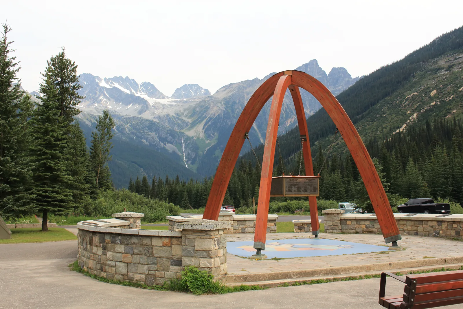
Wooden arch of the summit monument at Rogers Pass in Glacier National Park in Canada, forested slopes and the glaciers of the Hermit Range behind
Photo: Kevin Kiefuik ↗ · CC BY-SA 4.0 ↗

Mountains & rock · Mountain pass, 1,315 m (4,314 ft)

Rogers Pass

The high point between Revelstoke and Golden. The railway, the highway and the history of the park come together here, and this is where the avalanche technicians’ snow study plots are.

The summit of the pass is the only place in the park with information, passes and toilets.

Coordinates
51.288531, −117.514371
Elevation
1,315 m (4,314 ft)
Service point
Summit Station, 9520 Trans-Canada Highway
Open
all year, hours vary by season
Visitor centre
under renovation, exhibition and theatre closed
Fuel
none; only in Revelstoke or Golden

Open in OpenStreetMap ↗Location source ↗

51.28853, -117.51437

History · Monument at the pass

Rogers Pass Artillery Monument

Commemorates the avalanche control programme that the park authority and the armed forces have run together since 1961. A few steps from the visitor centre.

Open in OpenStreetMap ↗Location source ↗

51.28989, -117.51541

History · Highway monument

Rogers Pass Summit Monument

The wooden arch at the summit commemorates the opening of the Rogers Pass section of the Trans-Canada Highway in 1962. Rest area with a view of the glaciers of the Hermit Range.

Open in OpenStreetMap ↗Location source ↗

51.29002, -117.51551

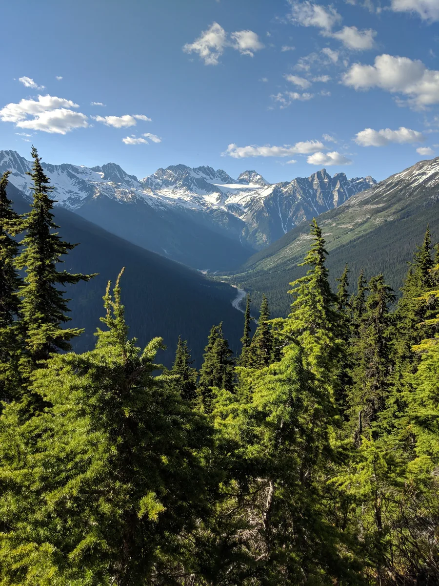
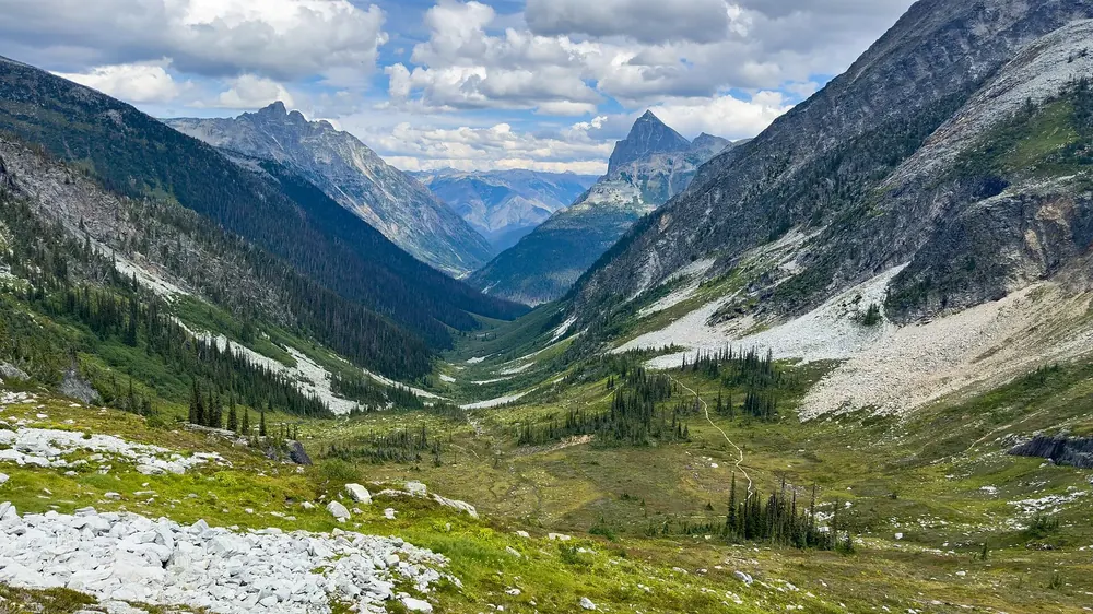
View from a high forest trail in Glacier National Park in Canada across the Illecillewaet valley, with the highway on the valley floor, to glaciated peaks
Photo: TaikiMcTaikiface ↗ · CC BY-SA 4.0 ↗

Where to stay · Campground and trail hub

Illecillewaet Campground

The park’s most important starting point: Marion Lake, Great Glacier, Avalanche Crest, Perley Rock, Glacier Crest, Asulkan Valley and Abbott Ridge all start here. First come, first served, 26.75 CAD per night.

The campground is also the park’s trail hub: seven major hikes start here.

Coordinates
51.265075, −117.494700
Site allocation
first come, first served, no reservations
Price
26.75 CAD per night
Shortest hike
Marion Lake, 6.4 km (4 mi), 425 m (1,394 ft) of climbing
Longest hike
Asulkan Valley, 15.8 km (9.8 mi), 870 m (2,854 ft) of climbing
Steepest hike
Perley Rock, 12.8 km (8 mi), 1,145 m (3,757 ft) of climbing

Open in OpenStreetMap ↗Location source ↗

51.26508, -117.49470

Where to stay · Campground with reservations

Loop Brook Campground

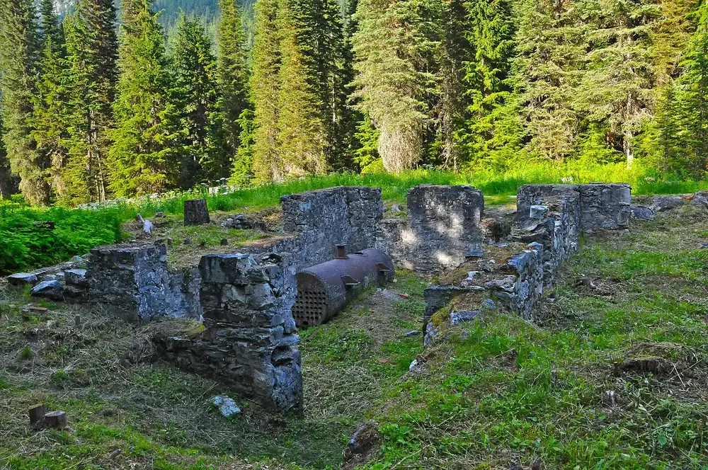
Can be reserved, 26.75 CAD per night. Right next to it stand the stone piers of the old railway loop. The loop trail there is currently closed in sections.

Open in OpenStreetMap ↗Location source ↗

51.25725, -117.53808

Where to stay · Backcountry campground

Hermit Campground

Reservable backcountry campground, 15 CAD per person per night. Reached via the steep Hermit trail from the highway.

Open in OpenStreetMap ↗Location source ↗

51.33084, -117.53124

Where to stay · Alpine Club hut

Asulkan Cabin

At the end of the Asulkan Valley trail at about 2,100 m (6,890 ft). Run by the Alpine Club of Canada, by reservation only. Continuing to Asulkan Pass requires glacier travel equipment.

Open in OpenStreetMap ↗Location source ↗

51.21431, -117.46963

Trails · Accessible boardwalk

Hemlock Grove Boardwalk

A 350-metre (1,148 ft) boardwalk through the inland rainforest, built as a legacy of Rick Hansen’s Man in Motion World Tour in 1987. The surface next to the path is uneven because of roots.

Open in OpenStreetMap ↗Location source ↗

51.24165, -117.64904

Trails · Short trail over stepping stones

Rockgarden Trail

430 metres (1,411 ft) through boulders covered in lichen and moss, 1.5 kilometres (0.9 mi) east of the Hemlock Grove day-use area. In clear weather there are views of peaks and glaciers. Sturdy footwear needed.

Open in OpenStreetMap ↗Location source ↗

51.24757, -117.62250

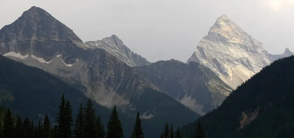
Panorama of the Selkirk Mountains in Glacier National Park in Canada with the pointed rock pyramid of Mount Sir Donald above dark conifer forest
Photo: Murray Foubister ↗ · CC BY-SA 2.0 ↗

Mountains & rock · Peak

Mount Sir Donald

The striking rock pyramid above the Illecillewaet valley and the landmark of the park. Named after Donald Smith, the financier of the Canadian Pacific Railway.

The rock pyramid above the valley, and the mountain where climbing in North America became a pastime.

Coordinates
51.263250, −117.431346
Rock
solid quartzite, long ridge routes
1888
first purely recreational climbing in North America in this area
From 1899
Swiss mountain guides lead guests of Glacier House
Nearest campground
Sir Donald Backcountry, first come, first served

Open in OpenStreetMap ↗Location source ↗

51.26325, -117.43135

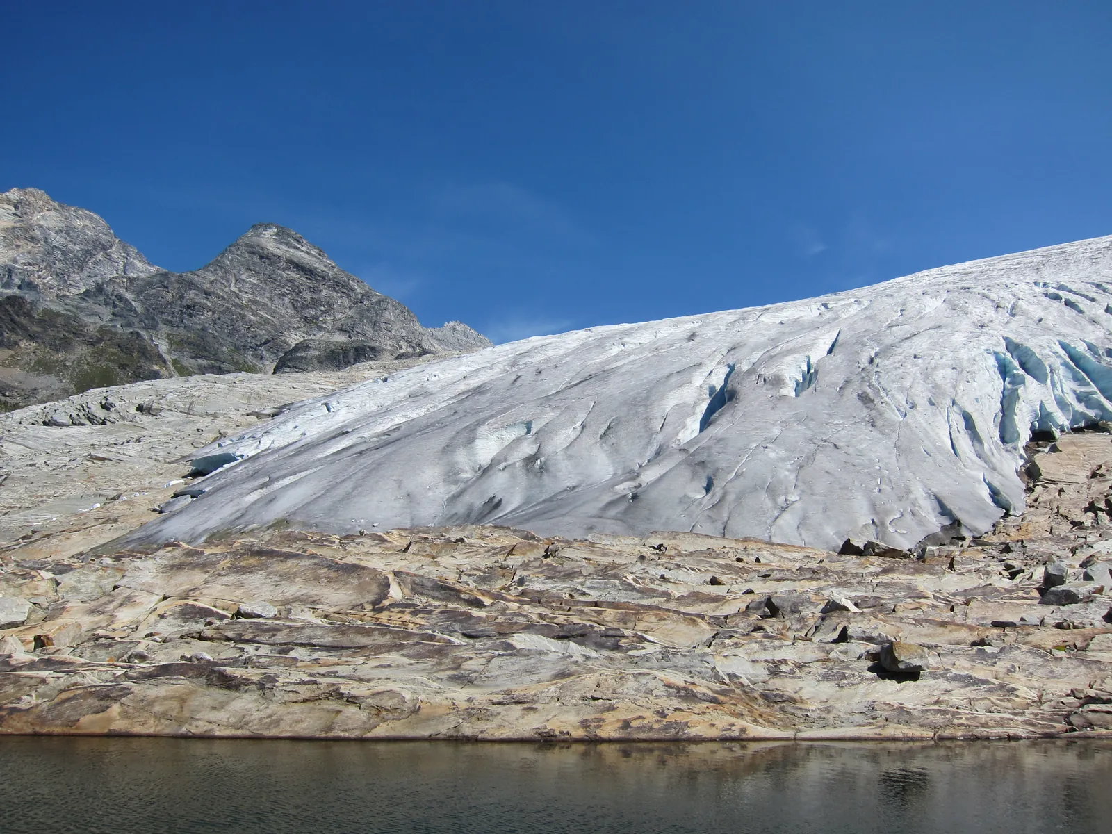
The tongue of the Illecillewaet Glacier in Glacier National Park in Canada ends above polished bare rock, a small glacial lake in front
Photo: The Interior ↗ · CC BY-SA 3.0 ↗

Mountains & rock · Glacier

Illecillewaet Glacier

The former "Great Glacier", the park’s main attraction since the 1880s. Since then the ice has retreated about 1.5 kilometres (0.9 mi) up the valley.

The "Great Glacier" of the 1880s, now one and a half kilometres further up.

Coordinates
51.234224, −117.440614
Trail
Great Glacier, 8.4 km (5.2 mi) return
Climb
320 m (1,050 ft) of elevation, about 2.5 hours
Retreat
about 1.5 km (0.9 mi) over the past century
Caution
Ice caves and overhangs can collapse

Open in OpenStreetMap ↗Location source ↗

51.23422, -117.44061

Mountains & rock · High pass

Asulkan Pass

At the head of the Asulkan valley. The name goes back to William Spotswood Green, who climbed here in 1888; it is said to mean "mountain goat".

Open in OpenStreetMap ↗Location source ↗

51.19985, -117.46915

Locations verified from the linked original sources and OpenStreetMap. The map shows no trails or park boundaries; markers do not imply that access is permitted.

Map: © OpenStreetMap contributors, OpenMapTiles, OpenFreeMap. Elevation: Terrain Tiles (Mapzen, AWS Open Data); 3DEP, GMTED2010 and SRTM courtesy of the U.S. Geological Survey; EU-DEM (Copernicus, European Union); ETOPO1 (NOAA); ArcticDEM (NSF, DigitalGlobe); Geoscience Australia; Open Data Austria (DGM); Open Government Licence – Canada; INEGI; Land Information New Zealand; Kartverket; Environment Agency (UK).

Park photo: Photo: Murray Foubister ↗ · CC BY-SA 2.0 ↗

Loading map …